Jendouba night lights from space
Night Light of Jendouba (Jundūbah) from space (Tunisia) Src. Average luminocity for 10x10km area is 24.9432% and for 50x50km: 1.9748%.
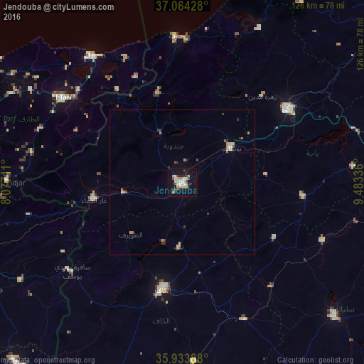
Analysis of Jendouba night lights 2016
Square area 10x10 km:
 3.11%
3.11%90-99
4.95%80-89
4.58%70-79
3.48%60-69
2.2%50-59
1.1%40-49
3.3%30-39
2.38%20-29
2.01%10-19
23.99%0-9
48.9%Square area 50x50 km:
0.15%90-99
0.27%80-89
0.38%70-79
0.31%60-69
0.27%50-59
0.14%40-49
0.18%30-39
0.42%20-29
0.21%10-19
0.96%0-9
96.72%Clear (daylight) street map image can be seen on geolist.org.
Map coordinates:
37° 3' 51.4" North, 8° 4' 37.6" East
36° 30' 4.1" North, 8° 46' 48.9" East
35° 56' 2" North, 9° 29' 0.1" East
Some cities around Jendouba sort by population:
• Béja
43.7 km =27.2 mi,  55°
55°
• El Kef
37 km =23 mi,  190°
190°
• El Tarf, DZ
51.1 km =31.8 mi,  305°
305°
• Tabarka
50.4 km =31.3 mi,  357°
357°
• Tabursuq
42.1 km =26.2 mi,  96°
96°
• As Sars
51.9 km =32.2 mi,  155°
155°
• Le Krib
37.2 km =23.1 mi,  121°
121°
• Sakiet Sidi Youssef
49 km =30.4 mi,  230°
230°
2470088 (p: 51,408)
Sources (retrieved 2019-11-25):
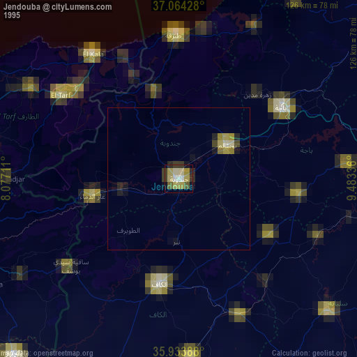
» NASA, Earths city lights 1995
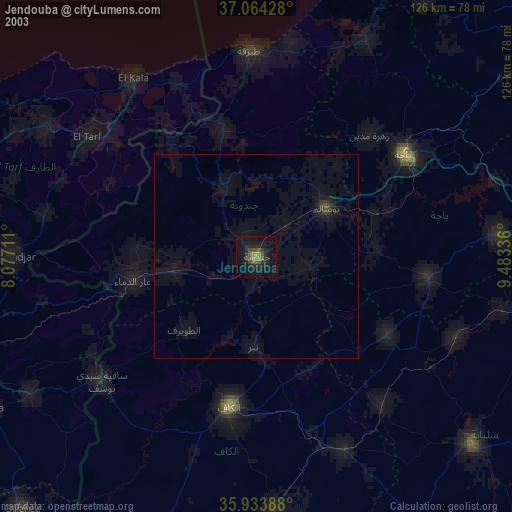
» NASA city lights 2003
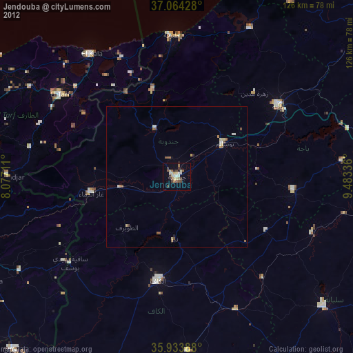
» Earth at Night: Flat Maps 2012, 2016