Serdar night lights from space
Night Light of Serdar (Balkan) from space (Turkmenistan) Src. Average luminocity for 10x10km area is 31.3701% and for 50x50km: 1.4979%.
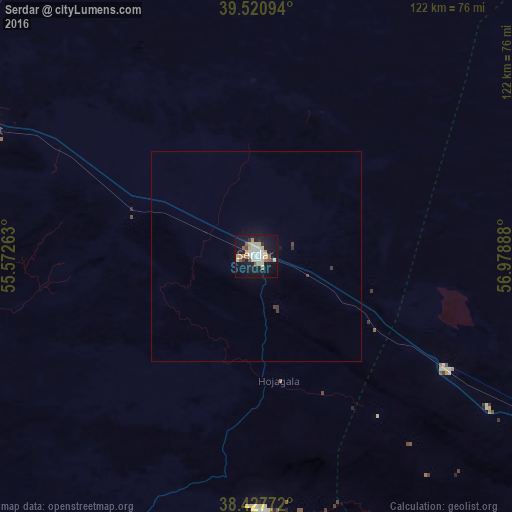
Analysis of Serdar night lights 2016
Square area 10x10 km:
 4.38%
4.38%90-99
6.82%80-89
6.33%70-79
3.25%60-69
3.08%50-59
4.71%40-49
1.3%30-39
0.81%20-29
1.95%10-19
38.31%0-9
29.06%Square area 50x50 km:
0.18%90-99
0.28%80-89
0.26%70-79
0.13%60-69
0.13%50-59
0.19%40-49
0.09%30-39
0.19%20-29
0.08%10-19
1.68%0-9
96.81%Clear (daylight) street map image can be seen on geolist.org.
Map coordinates:
39° 31' 15.4" North, 55° 34' 21.5" East
38° 58' 35.2" North, 56° 16' 32.7" East
38° 25' 39.8" North, 56° 58' 44" East
Some cities around Serdar sort by population:
• Bojnūrd, IR
190.6 km =118.4 mi,  151°
151°
• Balkanabat
174.8 km =108.6 mi,  289°
289°
• Abadan
196.1 km =121.9 mi,  121°
121°
• Kalāleh, IR
190.3 km =118.2 mi,  201°
201°
• Gumdag
147.7 km =91.8 mi,  279°
279°
• Baharly
116.9 km =72.6 mi, 120°
• Bereket
72.1 km =44.8 mi, 294°
• Āq Qāyeh, IR
212.9 km =132.3 mi,  207°
207°
161931 (p: 12,000)
Sources (retrieved 2019-11-25):
» Earth at Night: Flat Maps 2012, 2016