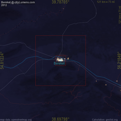
Bereket night lights from space
Night Light of Bereket (Balkan) from space (Turkmenistan) Src. Average luminocity for 10x10km area is 18.8486% and for 50x50km: 0.7969%.
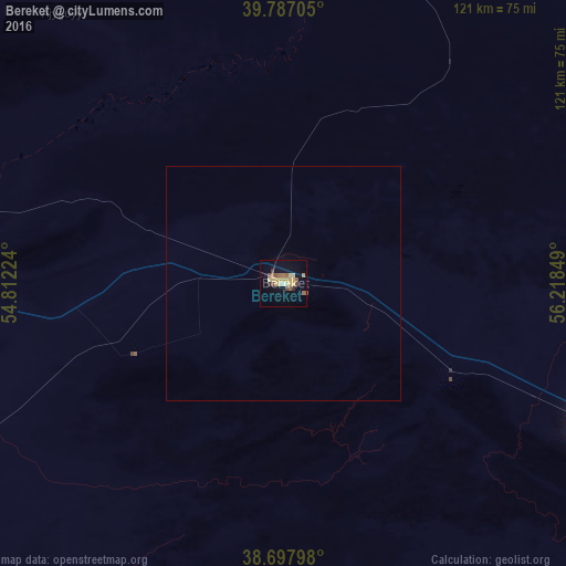
Analysis of Bereket night lights 2016
Square area 10x10 km:
 0%
0%90-99
0.68%80-89
6.29%70-79
4.59%60-69
1.7%50-59
3.74%40-49
2.38%30-39
2.38%20-29
0.34%10-19
6.63%0-9
71.26%Square area 50x50 km:
0%90-99
0.03%80-89
0.25%70-79
0.18%60-69
0.07%50-59
0.15%40-49
0.09%30-39
0.09%20-29
0.01%10-19
0.26%0-9
98.86%Clear (daylight) street map image can be seen on geolist.org.
Map coordinates:
39° 47' 13.4" North, 54° 48' 44.1" East
39° 14' 40.7" North, 55° 30' 55.3" East
38° 41' 52.7" North, 56° 13' 6.6" East
Some cities around Bereket sort by population:
• Gonbad-e Kāvūs, IR
223.9 km =139.1 mi,  187°
187°
• Balkanabat
103 km =64 mi,  286°
286°
• Türkmenbaşy
235.7 km =146.5 mi, 291°
• Kalāleh, IR
207.4 km =128.9 mi,  180°
180°
• Gumdag
79.8 km =49.6 mi,  266°
266°
• Baharly
188.7 km =117.3 mi,  118°
118°
• Serdar
72.1 km =44.8 mi,  114°
114°
• Āq Qāyeh, IR
221.2 km =137.4 mi, 188°
161974 (p: 21,090)
Sources (retrieved 2019-11-25):
» Earth at Night: Flat Maps 2012, 2016