Bojnūrd night lights from space
Night Light of Bojnūrd (North Khorasan) from space (Iran) Src. Average luminocity for 10x10km area is 59.9756% and for 50x50km: 5.4385%.
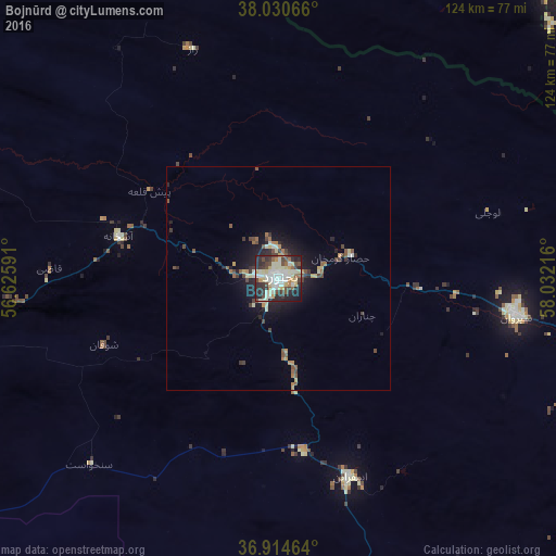
Analysis of Bojnūrd night lights 2016
Square area 10x10 km:
 9.58%
9.58%90-99
20.45%80-89
11.53%70-79
4.22%60-69
3.41%50-59
4.38%40-49
11.2%30-39
7.95%20-29
20.45%10-19
6.66%0-9
0.16%Square area 50x50 km:
0.44%90-99
1.13%80-89
0.8%70-79
0.4%60-69
0.59%50-59
0.69%40-49
1.16%30-39
0.91%20-29
1.58%10-19
3.38%0-9
88.91%Clear (daylight) street map image can be seen on geolist.org.
Map coordinates:
38° 1' 50.4" North, 56° 37' 33.3" East
37° 28' 29" North, 57° 19' 44.5" East
36° 54' 52.7" North, 58° 1' 55.8" East
Some cities around Bojnūrd sort by population:
• Ashgabat, TM
106.7 km =66.3 mi,  60°
60°
• Sabzevar
143.8 km =89.4 mi,  167°
167°
• Qūchān
112.2 km =69.7 mi,  111°
111°
• Shīrvān
53.7 km =33.4 mi,  99°
99°
• Esfarāyen
47.1 km =29.3 mi,  160°
160°
• Abadan, TM
99.9 km =62.1 mi,  49°
49°
• Annau, TM
114.1 km =70.9 mi,  66°
66°
• Baharly, TM
107.3 km =66.7 mi,  4°
4°
140380 (p: 192,041)
Sources (retrieved 2019-11-25):
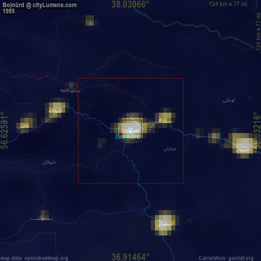
» NASA, Earths city lights 1995
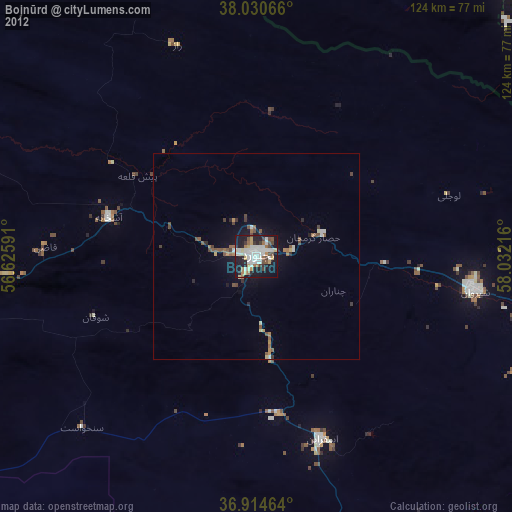
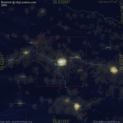
» NASA city lights 2003
» Earth at Night: Flat Maps 2012, 2016