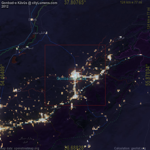
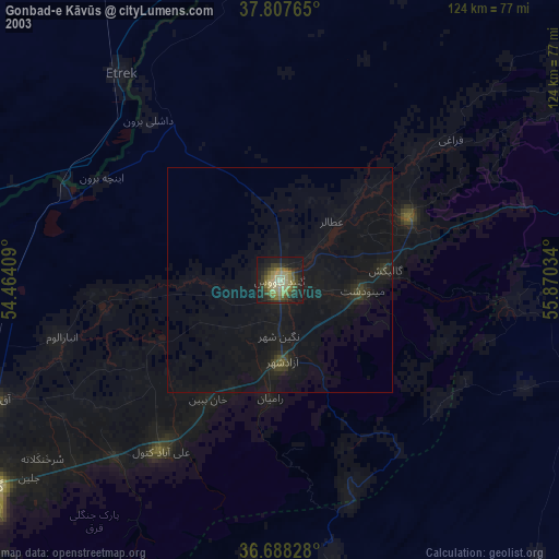
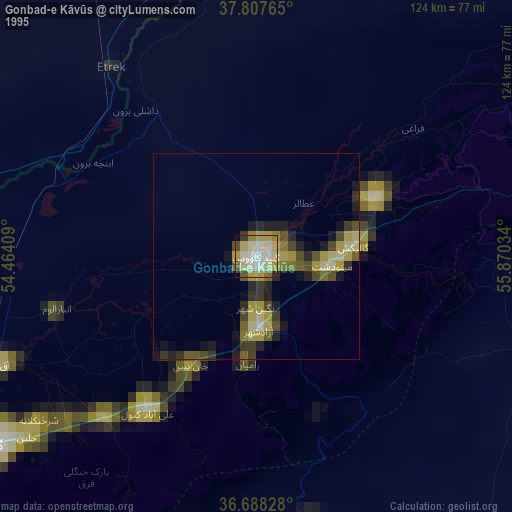
Gonbad-e Kāvūs night lights from space
Night Light of Gonbad-e Kāvūs (Golestan) from space (Iran) Src. Average luminocity for 10x10km area is 50.915% and for 50x50km: 7.8376%.

Analysis of Gonbad-e Kāvūs night lights 2016
Square area 10x10 km:
 12.07%
90-99
11.05%80-89
10.37%70-79
4.76%60-69
2.38%50-59
3.23%40-49
2.21%30-39
8.84%20-29
22.62%10-19
19.73%0-9
2.72%Square area 50x50 km:
0.74%90-99
0.8%80-89
1.11%70-79
0.98%60-69
0.76%50-59
0.98%40-49
0.92%30-39
1.73%20-29
2.3%10-19
8.64%0-9
81.03%Clear (daylight) street map image can be seen on geolist.org.
Map coordinates:
37° 48' 27.5" North, 54° 27' 50.7" East
37° 15' 0.1" North, 55° 10' 2" East
36° 41' 17.8" North, 55° 52' 13.2" East
Some cities around Gonbad-e Kāvūs sort by population:
• Gorgān
78.6 km =48.8 mi,  234°
234°
• Shahrud
94 km =58.4 mi,  190°
190°
• Behshahr
156.3 km =97.1 mi,  246°
246°
• Dāmghān
141 km =87.6 mi,  211°
211°
• Nekā
178.9 km =111.2 mi, 248°
• Āzādshahr
18.2 km =11.3 mi,  178°
178°
• Kalāleh
32.2 km =20 mi,  63°
63°
• Āq Qāyeh
2.8 km =1.7 mi,  344°
344°
132938 (p: 131,416)
Sources (retrieved 2019-11-25):
» NASA, Earths city lights 1995
» NASA city lights 2003
» Earth at Night: Flat Maps 2012, 2016