Isfara night lights from space
Night Light of Isfara (Sughd) from space (Tajikistan) Src. Average luminocity for 10x10km area is 4.2614% and for 50x50km: 1.7434%.
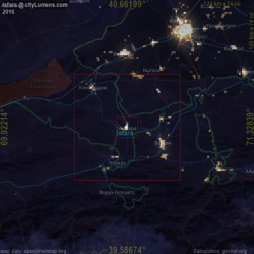
Analysis of Isfara night lights 2016
Square area 10x10 km:
 0.49%
0.49%90-99
0.81%80-89
0.32%70-79
0.32%60-69
1.14%50-59
0.16%40-49
0.65%30-39
1.14%20-29
0.81%10-19
1.3%0-9
92.86%Square area 50x50 km:
0.06%90-99
0.1%80-89
0.16%70-79
0.31%60-69
0.27%50-59
0.4%40-49
0.3%30-39
0.54%20-29
0.54%10-19
0.37%0-9
96.95%Clear (daylight) street map image can be seen on geolist.org.
Map coordinates:
40° 39' 43.2" North, 69° 55' 19.7" East
40° 7' 35.4" North, 70° 37' 30.9" East
39° 35' 12.3" North, 71° 19' 42.2" East
Some cities around Isfara sort by population:
• Qo‘qon, UZ
52.2 km =32.4 mi,  31°
31°
• Konibodom
24.9 km =15.5 mi,  318°
318°
• Oltiariq, UZ
77.8 km =48.3 mi,  67°
67°
• Beshariq, UZ
34.4 km =21.4 mi,  357°
357°
• Yaypan, UZ
32.1 km =19.9 mi, 30°
• Aydarken, KG
64.3 km =40 mi,  108°
108°
• Shaydon
64.8 km =40.3 mi,  338°
338°
• Batken, KG
18 km =11.2 mi, 113°
1514896 (p: 37,738)
Sources (retrieved 2019-11-25):
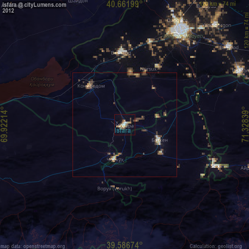
» Earth at Night: Flat Maps 2012, 2016