Beshariq night lights from space
Night Light of Beshariq (Fergana) from space (Uzbekistan) Src. Average luminocity for 10x10km area is 18.5272% and for 50x50km: 2.7425%.
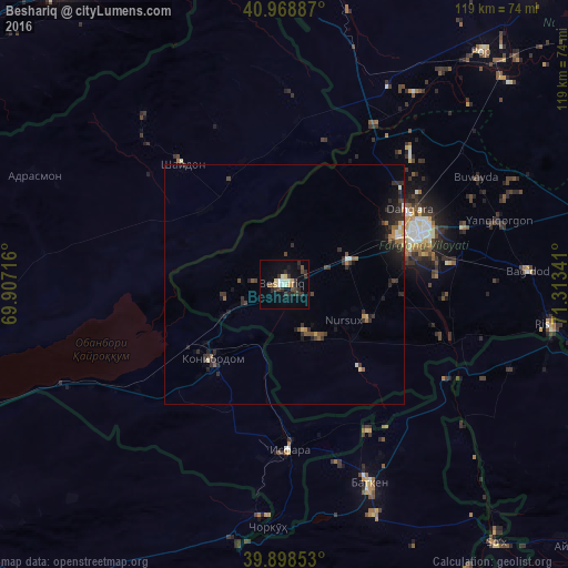
Analysis of Beshariq night lights 2016
Square area 10x10 km:
 1.36%
1.36%90-99
3.74%80-89
2.55%70-79
1.19%60-69
0.68%50-59
1.7%40-49
2.72%30-39
6.29%20-29
6.29%10-19
8.5%0-9
64.97%Square area 50x50 km:
0.14%90-99
0.27%80-89
0.24%70-79
0.22%60-69
0.29%50-59
0.41%40-49
0.39%30-39
0.97%20-29
1.36%10-19
1.72%0-9
93.97%Clear (daylight) street map image can be seen on geolist.org.
Map coordinates:
40° 58' 7.9" North, 69° 54' 25.8" East
40° 26' 9" North, 70° 36' 37" East
39° 53' 54.7" North, 71° 18' 48.3" East
Some cities around Beshariq sort by population:
• Qo‘qon
29.9 km =18.6 mi,  69°
69°
• Konibodom, TJ
21.9 km =13.6 mi,  223°
223°
• Isfara, TJ
34.4 km =21.4 mi,  177°
177°
• Pop
64.3 km =40 mi,  40°
40°
• Yaypan
18.6 km =11.6 mi,  110°
110°
• Adrasmon, TJ
57.9 km =36 mi,  294°
294°
• Shaydon, TJ
34.1 km =21.2 mi,  319°
319°
• Batken, KG
45.1 km =28 mi,  156°
156°
1514382 (p: 21,984)
Sources (retrieved 2019-11-25):
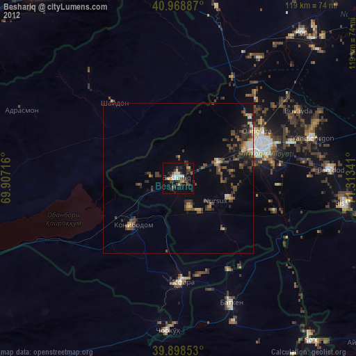
» Earth at Night: Flat Maps 2012, 2016