Shaydon night lights from space
Night Light of Shaydon (Sughd) from space (Tajikistan) Src. Average luminocity for 10x10km area is 1.8685% and for 50x50km: 0.4541%.
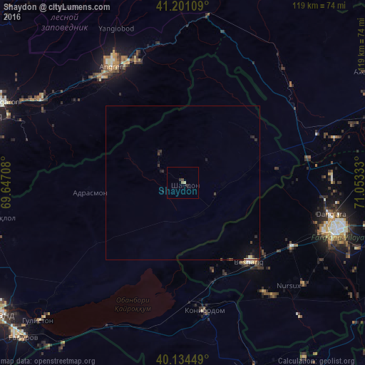
Analysis of Shaydon night lights 2016
Square area 10x10 km:
 0%
0%90-99
0.16%80-89
0.49%70-79
0%60-69
0.65%50-59
0%40-49
0.49%30-39
0.49%20-29
0.97%10-19
0%0-9
96.75%Square area 50x50 km:
0.01%90-99
0.07%80-89
0.07%70-79
0.01%60-69
0.03%50-59
0.01%40-49
0.1%30-39
0.18%20-29
0.2%10-19
0.31%0-9
99.02%Clear (daylight) street map image can be seen on geolist.org.
Map coordinates:
41° 12' 3.9" North, 69° 38' 49.5" East
40° 40' 11.7" North, 70° 21' 0.7" East
40° 8' 4.2" North, 71° 3' 12" East
Some cities around Shaydon sort by population:
• Qo‘qon, UZ
52.4 km =32.6 mi,  107°
107°
• Angren, UZ
42.3 km =26.3 mi,  335°
335°
• Konibodom
42.3 km =26.3 mi,  170°
170°
• Yangiobod, UZ
54.4 km =33.8 mi, 336°
• Beshariq, UZ
34.1 km =21.2 mi,  139°
139°
• Yaypan, UZ
51.1 km =31.8 mi,  129°
129°
• Adrasmon
30.9 km =19.2 mi,  265°
265°
• Konsoy
58.2 km =36.2 mi,  250°
250°
1514921 (p: 11,705)
Sources (retrieved 2019-11-25):
» Earth at Night: Flat Maps 2012, 2016