Konibodom night lights from space
Night Light of Konibodom (Sughd) from space (Tajikistan) Src. Average luminocity for 10x10km area is 4.1395% and for 50x50km: 1.5883%.
Analysis of Konibodom night lights 2016
Square area 10x10 km:
 0%
0%90-99
0%80-89
0.68%70-79
0%60-69
0%50-59
1.36%40-49
0%30-39
1.7%20-29
6.29%10-19
0.85%0-9
89.12%Square area 50x50 km:
0.07%90-99
0.18%80-89
0.17%70-79
0.11%60-69
0.07%50-59
0.3%40-49
0.32%30-39
0.62%20-29
0.68%10-19
0.61%0-9
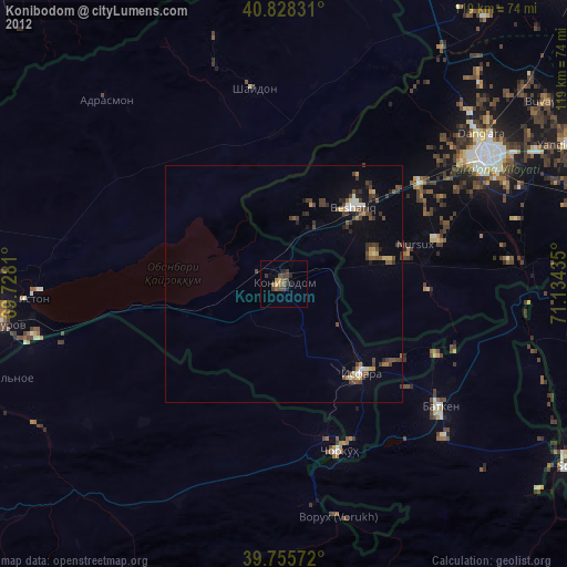
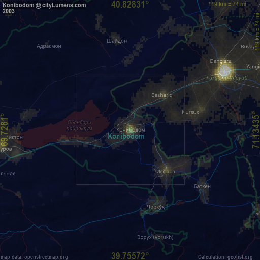
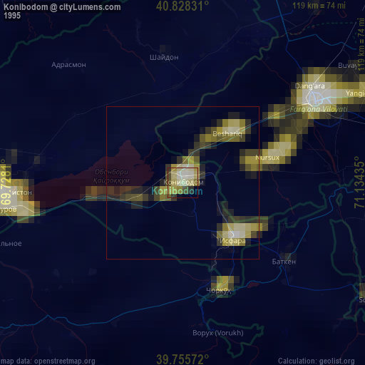
96.89%Clear (daylight) street map image can be seen on geolist.org.
Map coordinates:
40° 49' 41.9" North, 69° 43' 41.2" East
40° 17' 38.9" North, 70° 25' 52.4" East
39° 45' 20.6" North, 71° 8' 3.7" East
Some cities around Konibodom sort by population:
• Qo‘qon, UZ
50.5 km =31.4 mi,  58°
58°
• Isfara
24.9 km =15.5 mi,  138°
138°
• Beshariq, UZ
21.9 km =13.6 mi,  43°
43°
• Chkalov
62.8 km =39 mi,  263°
263°
• Yaypan, UZ
33.8 km =21 mi,  74°
74°
• Adrasmon
54.6 km =33.9 mi,  316°
316°
• Shaydon
42.3 km =26.3 mi,  350°
350°
• Batken, KG
41.8 km =26 mi,  127°
127°
1514891 (p: 50,359)
Sources (retrieved 2019-11-25):
» NASA, Earths city lights 1995
» NASA city lights 2003
» Earth at Night: Flat Maps 2012, 2016