Yasothon night lights from space
Night Light of Yasothon from space (Thailand) Src. Average luminocity for 10x10km area is 42.8052% and for 50x50km: 5.3057%.
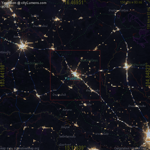
Analysis of Yasothon night lights 2016
Square area 10x10 km:
 5.41%
5.41%90-99
9.31%80-89
5.41%70-79
6.71%60-69
6.06%50-59
4.55%40-49
6.28%30-39
6.06%20-29
7.14%10-19
37.01%0-9
6.06%Square area 50x50 km:
0.2%90-99
0.53%80-89
0.61%70-79
0.64%60-69
0.76%50-59
0.66%40-49
1.41%30-39
1.27%20-29
1.11%10-19
3.69%0-9
89.1%Clear (daylight) street map image can be seen on geolist.org.
Map coordinates:
16° 28' 10.2" North, 103° 26' 31.1" East
15° 47' 38.7" North, 104° 8' 42.4" East
15° 6' 59" North, 104° 50' 53.6" East
Some cities around Yasothon sort by population:
• Roi Et
60.2 km =37.4 mi,  299°
299°
• Amnat Charoen
52.2 km =32.4 mi,  82°
82°
• Kaset Wisai
62 km =38.5 mi,  255°
255°
• Ban Selaphum
32.4 km =20.1 mi,  319°
319°
• Pho Chai
71.6 km =44.5 mi,  326°
326°
• Waeng
59 km =36.7 mi,  342°
342°
• Suwannaphum
42.4 km =26.3 mi,  240°
240°
• Moeiwadi
66.2 km =41.1 mi,  1°
1°
1604769 (p: 21,643)
Sources (retrieved 2019-11-25):
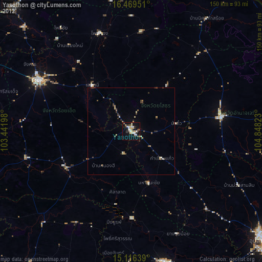
» Earth at Night: Flat Maps 2012, 2016