Amnat Charoen night lights from space
Night Light of Amnat Charoen from space (Thailand) Src. Average luminocity for 10x10km area is 37.1537% and for 50x50km: 3.9525%.
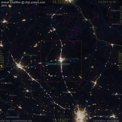
Analysis of Amnat Charoen night lights 2016
Square area 10x10 km:
 2.6%
2.6%90-99
9.74%80-89
5.63%70-79
5.63%60-69
3.9%50-59
3.25%40-49
6.06%30-39
3.25%20-29
6.93%10-19
44.16%0-9
8.87%Square area 50x50 km:
0.1%90-99
0.71%80-89
0.58%70-79
0.55%60-69
0.42%50-59
0.4%40-49
0.79%30-39
0.78%20-29
0.69%10-19
2.74%0-9
92.24%Clear (daylight) street map image can be seen on geolist.org.
Map coordinates:
16° 32' 1.4" North, 103° 55' 32.6" East
15° 51' 30.6" North, 104° 37' 43.8" East
15° 10' 51.7" North, 105° 19' 55.1" East
Some cities around Amnat Charoen sort by population:
• Ubon Ratchathani
72.9 km =45.3 mi,  161°
161°
• Savannakhet, LA
80.4 km =50 mi,  10°
10°
• Warin Chamrap
78.1 km =48.5 mi, 161°
• Mukdahan
77 km =47.8 mi, 7°
• Yasothon
52.2 km =32.4 mi,  262°
262°
• Ban Selaphum
74.7 km =46.4 mi,  283°
283°
• Sawang Wirawong
84.7 km =52.6 mi,  144°
144°
• Moeiwadi
77.6 km =48.2 mi,  319°
319°
1621060 (p: 34,769)
Sources (retrieved 2019-11-25):
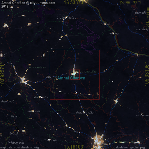
» Earth at Night: Flat Maps 2012, 2016