Roi Et night lights from space
Night Light of Roi Et from space (Thailand) Src. Average luminocity for 10x10km area is 56.4442% and for 50x50km: 5.7086%.
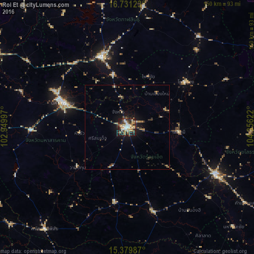
Analysis of Roi Et night lights 2016
Square area 10x10 km:
 7.85%
7.85%90-99
11.78%80-89
9.5%70-79
11.16%60-69
9.3%50-59
3.72%40-49
6.61%30-39
13.02%20-29
14.88%10-19
12.19%0-9
0%Square area 50x50 km:
0.31%90-99
0.71%80-89
0.76%70-79
0.78%60-69
0.75%50-59
0.71%40-49
0.97%30-39
1.65%20-29
1.58%10-19
3.98%0-9
87.8%Clear (daylight) street map image can be seen on geolist.org.
Map coordinates:
16° 43' 52.4" North, 102° 56' 59.9" East
16° 3' 24.1" North, 103° 39' 11.1" East
15° 22' 47.5" North, 104° 21' 22.4" East
Some cities around Roi Et sort by population:
• Kalasin
44.6 km =27.7 mi,  339°
339°
• Maha Sarakham
40.3 km =25 mi,  290°
290°
• Kamalasai
32.4 km =20.1 mi,  345°
345°
• Kaset Wisai
45.2 km =28.1 mi,  189°
189°
• Ban Selaphum
32 km =19.9 mi,  97°
97°
• Pho Chai
32.7 km =20.3 mi,  22°
22°
• Waeng
44 km =27.3 mi,  52°
52°
• Wapi Pathum
37.8 km =23.5 mi,  231°
231°
1607001 (p: 39,328)
Sources (retrieved 2019-11-25):
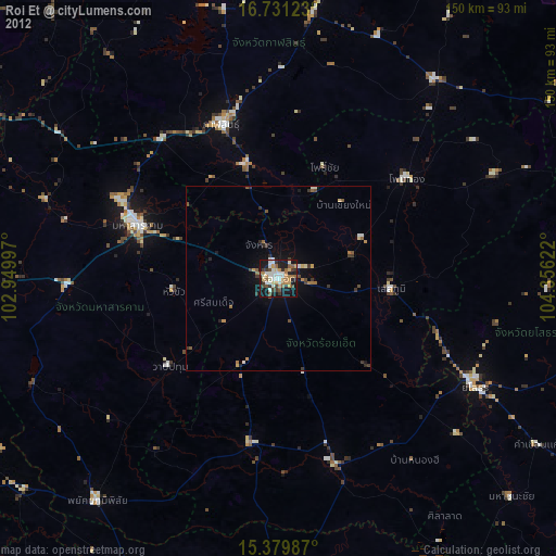
» Earth at Night: Flat Maps 2012, 2016