Waeng night lights from space
Night Light of Waeng (Roi Et) from space (Thailand) Src. Average luminocity for 10x10km area is 15.281% and for 50x50km: 2.3869%.
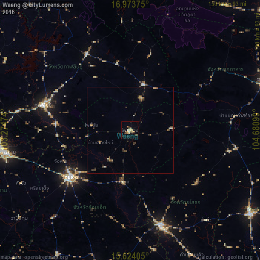
Analysis of Waeng night lights 2016
Square area 10x10 km:
 0.41%
0.41%90-99
1.24%80-89
3.31%70-79
4.13%60-69
0.83%50-59
4.13%40-49
0%30-39
2.27%20-29
2.69%10-19
2.69%0-9
78.31%Square area 50x50 km:
0.06%90-99
0.24%80-89
0.26%70-79
0.35%60-69
0.26%50-59
0.41%40-49
0.48%30-39
0.88%20-29
0.61%10-19
0.38%0-9
96.07%Clear (daylight) street map image can be seen on geolist.org.
Map coordinates:
16° 58' 25.5" North, 103° 16' 29.1" East
16° 18' 0.2" North, 103° 58' 40.3" East
15° 37' 26.6" North, 104° 40' 51.6" East
Some cities around Waeng sort by population:
• Kalasin
52.4 km =32.6 mi,  286°
286°
• Roi Et
44 km =27.3 mi,  232°
232°
• Kamalasai
43.1 km =26.8 mi,  275°
275°
• Kuchinarai
27.9 km =17.3 mi,  16°
16°
• Ban Selaphum
31.7 km =19.7 mi,  185°
185°
• Khao Wong
46.1 km =28.6 mi, 15°
• Pho Chai
22.4 km =13.9 mi, 278°
• Moeiwadi
21.6 km =13.4 mi,  62°
62°
1607600 (p: 13,317)
Sources (retrieved 2019-11-25):
» Earth at Night: Flat Maps 2012, 2016