Yaring night lights from space
Night Light of Yaring (Pattani) from space (Thailand) Src. Average luminocity for 10x10km area is 18.7987% and for 50x50km: 9.5392%.
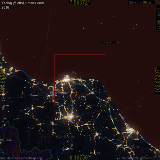
Analysis of Yaring night lights 2016
Square area 10x10 km:
 0.65%
0.65%90-99
0.22%80-89
2.81%70-79
3.03%60-69
2.81%50-59
3.25%40-49
2.81%30-39
2.81%20-29
4.98%10-19
28.57%0-9
48.05%Square area 50x50 km:
0.61%90-99
0.78%80-89
1.14%70-79
1.65%60-69
1.21%50-59
1.26%40-49
1.47%30-39
1.79%20-29
3.37%10-19
7.33%0-9
79.37%Clear (daylight) street map image can be seen on geolist.org.
Map coordinates:
7° 33' 49.4" North, 100° 39' 57" East
6° 51' 58.2" North, 101° 22' 8.2" East
6° 10' 3.3" North, 102° 4' 19.5" East
Some cities around Yaring sort by population:
• Yala
37.5 km =23.3 mi,  194°
194°
• Songkhla
93.1 km =57.8 mi,  293°
293°
• Narathiwat
70 km =43.5 mi,  134°
134°
• Pattani
13.1 km =8.1 mi,  270°
270°
• Ra-ngae
74.7 km =46.4 mi,  147°
147°
• Sai Buri
32.9 km =20.4 mi,  123°
123°
• Nong Chik
21.2 km =13.2 mi,  263°
263°
• Na Mom
90.2 km =56 mi,  276°
276°
1604771 (p: 31,111)
Sources (retrieved 2019-11-25):
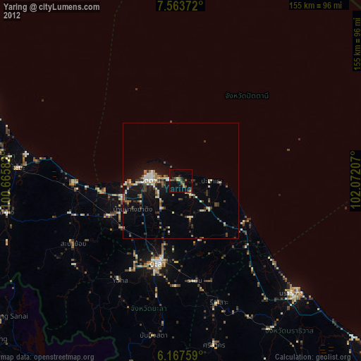
» Earth at Night: Flat Maps 2012, 2016