Narathiwat night lights from space
Night Light of Narathiwat from space (Thailand) Src. Average luminocity for 10x10km area is 47.7424% and for 50x50km: 7.2264%.
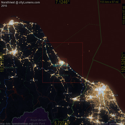
Analysis of Narathiwat night lights 2016
Square area 10x10 km:
 7.58%
7.58%90-99
7.14%80-89
10.82%70-79
8.87%60-69
4.33%50-59
5.63%40-49
6.71%30-39
1.73%20-29
15.8%10-19
27.27%0-9
4.11%Square area 50x50 km:
0.32%90-99
0.39%80-89
0.91%70-79
1.38%60-69
1.37%50-59
1.45%40-49
0.97%30-39
0.94%20-29
1.5%10-19
4.5%0-9
86.28%Clear (daylight) street map image can be seen on geolist.org.
Map coordinates:
7° 7' 28.6" North, 101° 7' 11.9" East
6° 25' 35" North, 101° 49' 23.1" East
5° 43' 38" North, 102° 31' 34.4" East
Some cities around Narathiwat sort by population:
• Kota Bharu, MY
57.4 km =35.7 mi,  125°
125°
• Su-ngai Kolok
46.8 km =29.1 mi,  160°
160°
• Pasir Mas, MY
54.6 km =33.9 mi,  140°
140°
• Tak Bai
31.6 km =19.6 mi, 125°
• Ra-ngae
17.8 km =11.1 mi,  215°
215°
• Sai Buri
38.1 km =23.7 mi,  323°
323°
• Ban Su-ngai Pa Di
39.7 km =24.7 mi,  172°
172°
• Tumpat, MY
46.1 km =28.6 mi,  123°
123°
1608409 (p: 47,771)
Sources (retrieved 2019-11-25):
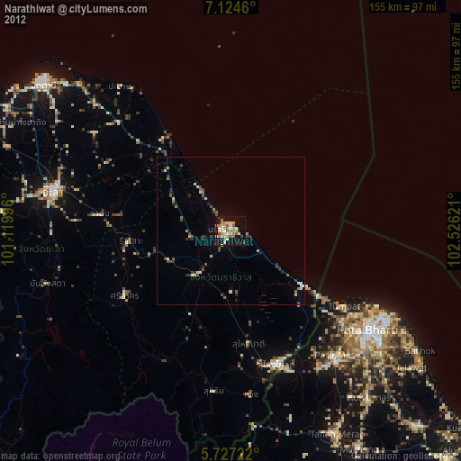
» Earth at Night: Flat Maps 2012, 2016