Yala night lights from space
Night Light of Yala from space (Thailand) Src. Average luminocity for 10x10km area is 57.4351% and for 50x50km: 10.53%.
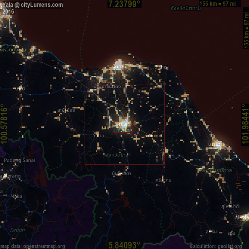
Analysis of Yala night lights 2016
Square area 10x10 km:
 11.9%
11.9%90-99
10.17%80-89
8.44%70-79
10.61%60-69
9.96%50-59
3.9%40-49
4.55%30-39
10.82%20-29
20.13%10-19
9.52%0-9
0%Square area 50x50 km:
0.59%90-99
0.6%80-89
1.06%70-79
2.26%60-69
1.73%50-59
1.41%40-49
1.44%30-39
1.88%20-29
3.37%10-19
7.23%0-9
78.43%Clear (daylight) street map image can be seen on geolist.org.
Map coordinates:
7° 14' 16.8" North, 100° 34' 41.4" East
6° 32' 23.8" North, 101° 16' 52.6" East
5° 50' 27.3" North, 101° 59' 3.9" East
Some cities around Yala sort by population:
• Narathiwat
61.2 km =38 mi,  101°
101°
• Pattani
36.7 km =22.8 mi,  354°
354°
• Yaring
37.5 km =23.3 mi,  14°
14°
• Betong
88.2 km =54.8 mi,  195°
195°
• Ra-ngae
56.3 km =35 mi,  118°
118°
• Sai Buri
41.2 km =25.6 mi,  64°
64°
• Ban Su-ngai Pa Di
83.4 km =51.8 mi,  128°
128°
• Nong Chik
35.6 km =22.1 mi,  341°
341°
1604870 (p: 93,558)
Sources (retrieved 2019-11-25):
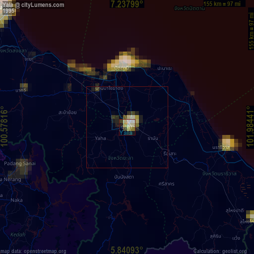
» NASA, Earths city lights 1995
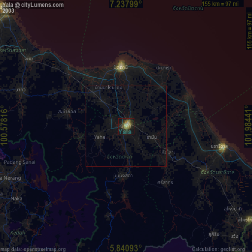
» NASA city lights 2003
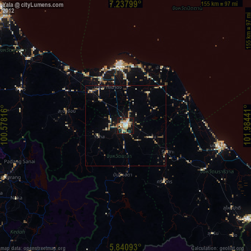
» Earth at Night: Flat Maps 2012, 2016