Betong night lights from space
Night Light of Betong (Yala) from space (Thailand) Src. Average luminocity for 10x10km area is 14.5496% and for 50x50km: 2.3056%.
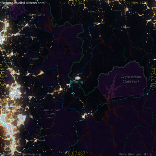
Analysis of Betong night lights 2016
Square area 10x10 km:
 2.07%
2.07%90-99
3.72%80-89
0%70-79
2.27%60-69
3.51%50-59
0.41%40-49
1.24%30-39
0.41%20-29
1.45%10-19
2.07%0-9
82.85%Square area 50x50 km:
0.13%90-99
0.21%80-89
0.17%70-79
0.26%60-69
0.64%50-59
0.28%40-49
0.34%30-39
0.32%20-29
0.62%10-19
0.6%0-9
96.42%Clear (daylight) street map image can be seen on geolist.org.
Map coordinates:
6° 28' 24.4" North, 100° 22' 9.1" East
5° 46' 27.6" North, 101° 4' 20.3" East
5° 4' 27.7" North, 101° 46' 31.6" East
Some cities around Betong sort by population:
• Sungai Petani, MY
66.2 km =41.1 mi,  257°
257°
• Bukit Mertajam, MY
81.1 km =50.4 mi,  235°
235°
• Kulim, MY
72.6 km =45.1 mi,  231°
231°
• Tasek Glugor, MY
71.4 km =44.4 mi, 242°
• Bedong, MY
62.6 km =38.9 mi,  265°
265°
• Permatang Kuching, MY
83.9 km =52.1 mi,  245°
245°
• Kepala Batas, MY
77 km =47.8 mi, 248°
• Gurun, MY
66.4 km =41.3 mi, 274°
1611635 (p: 29,604)
Sources (retrieved 2019-11-25):
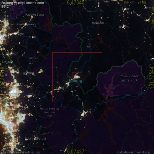
» Earth at Night: Flat Maps 2012, 2016