Uttaradit night lights from space
Night Light of Uttaradit from space (Thailand) Src. Average luminocity for 10x10km area is 71.6426% and for 50x50km: 8.6121%.
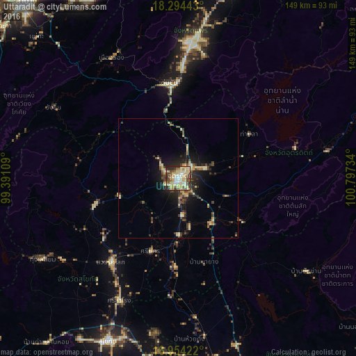
Analysis of Uttaradit night lights 2016
Square area 10x10 km:
 7.44%
7.44%90-99
21.28%80-89
25.41%70-79
7.44%60-69
6.2%50-59
6.4%40-49
13.64%30-39
4.55%20-29
7.02%10-19
0.62%0-9
0%Square area 50x50 km:
0.32%90-99
1.53%80-89
1.85%70-79
1.01%60-69
0.63%50-59
0.87%40-49
2%30-39
1.49%20-29
2.62%10-19
5.26%0-9
82.43%Clear (daylight) street map image can be seen on geolist.org.
Map coordinates:
18° 17' 39.9" North, 99° 23' 27.9" East
17° 37' 32.1" North, 100° 5' 39.2" East
16° 57' 15.2" North, 100° 47' 50.4" East
Some cities around Uttaradit sort by population:
• Ban Na
77.8 km =48.3 mi,  209°
209°
• Phrae
58.1 km =36.1 mi,  4°
4°
• Sukhothai
74.5 km =46.3 mi,  202°
202°
• Si Satchanalai
37.5 km =23.3 mi,  251°
251°
• Sawankhalok
44.3 km =27.5 mi,  218°
218°
• Den Chai
40.1 km =24.9 mi,  353°
353°
• Rong Kwang
82.8 km =51.4 mi,  16°
16°
• Long
57.2 km =35.5 mi,  330°
330°
1605215 (p: 58,313)
Sources (retrieved 2019-11-25):
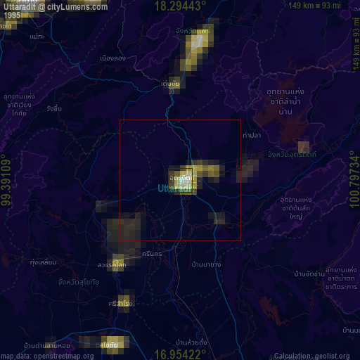
» NASA, Earths city lights 1995
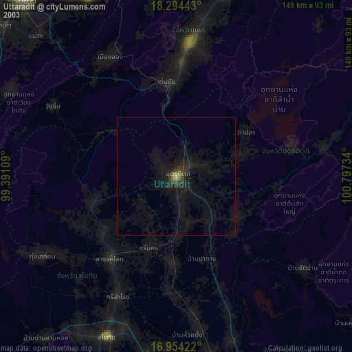
» NASA city lights 2003
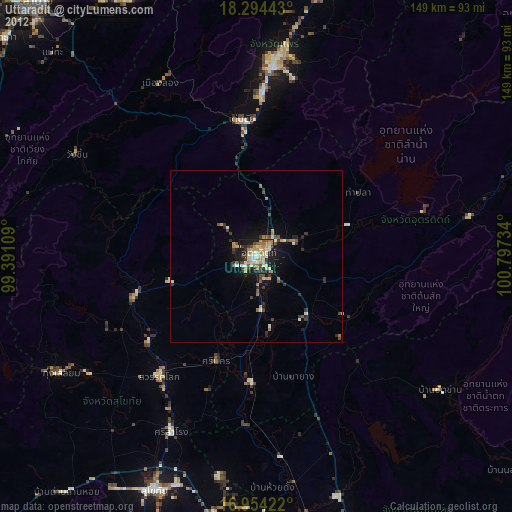
» Earth at Night: Flat Maps 2012, 2016