Si Satchanalai night lights from space
Night Light of Si Satchanalai (Sukhothai) from space (Thailand) Src. Average luminocity for 10x10km area is 8.3843% and for 50x50km: 2.7801%.
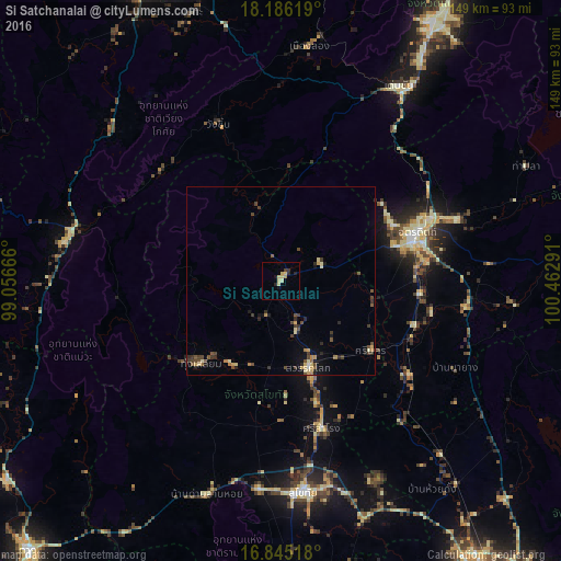
Analysis of Si Satchanalai night lights 2016
Square area 10x10 km:
 0%
0%90-99
0%80-89
5.58%70-79
0.41%60-69
0.62%50-59
0%40-49
0.21%30-39
1.45%20-29
2.27%10-19
1.03%0-9
88.43%Square area 50x50 km:
0.02%90-99
0.21%80-89
0.66%70-79
0.29%60-69
0.3%50-59
0.35%40-49
0.79%30-39
0.69%20-29
0.59%10-19
1%0-9
95.1%Clear (daylight) street map image can be seen on geolist.org.
Map coordinates:
18° 11' 10.3" North, 99° 3' 24" East
17° 31' 0.9" North, 99° 45' 35.2" East
16° 50' 42.6" North, 100° 27' 46.5" East
Some cities around Si Satchanalai sort by population:
• Uttaradit
37.5 km =23.3 mi,  71°
71°
• Ban Na
55.6 km =34.5 mi,  182°
182°
• Sukhothai
57 km =35.4 mi,  173°
173°
• Sawankhalok
23.6 km =14.7 mi,  161°
161°
• Thoen
58.6 km =36.4 mi,  280°
280°
• Den Chai
60.4 km =37.5 mi,  30°
30°
• Long
62.4 km =38.8 mi,  6°
6°
• Ban Dan Lan Hoi
60 km =37.3 mi,  199°
199°
1150624 (p: 25,942)
Sources (retrieved 2019-11-25):
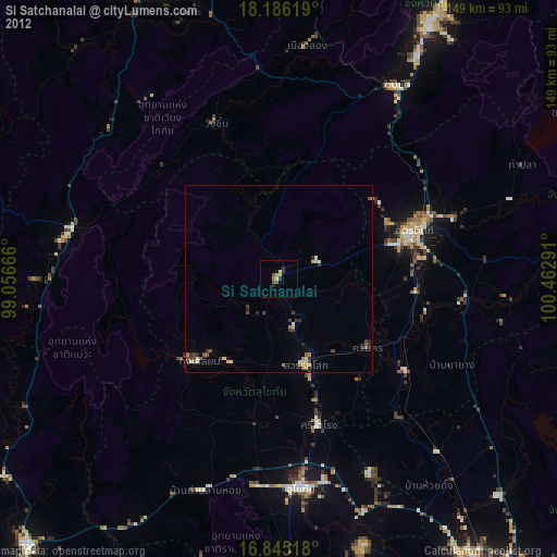
» Earth at Night: Flat Maps 2012, 2016