Phrae night lights from space
Night Light of Phrae from space (Thailand) Src. Average luminocity for 10x10km area is 61.2662% and for 50x50km: 9.2235%.
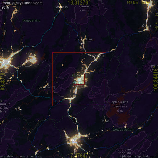
Analysis of Phrae night lights 2016
Square area 10x10 km:
 4.33%
4.33%90-99
20.13%80-89
19.7%70-79
6.06%60-69
6.71%50-59
4.55%40-49
5.63%30-39
8.01%20-29
12.34%10-19
11.26%0-9
1.3%Square area 50x50 km:
0.28%90-99
1.63%80-89
1.88%70-79
0.83%60-69
0.88%50-59
0.97%40-49
1.96%30-39
1.65%20-29
2.75%10-19
8.4%0-9
78.78%Clear (daylight) street map image can be seen on geolist.org.
Map coordinates:
18° 48' 45.9" North, 99° 26' 16.5" East
18° 8' 45.2" North, 100° 8' 27.7" East
17° 28' 35.3" North, 100° 50' 39" East
Some cities around Phrae sort by population:
• Lampang
70.4 km =43.7 mi,  283°
283°
• Uttaradit
58.1 km =36.1 mi,  184°
184°
• Si Satchanalai
80.7 km =50.1 mi,  209°
209°
• Nan
97.8 km =60.8 mi,  43°
43°
• Sawankhalok
97.9 km =60.8 mi,  199°
199°
• Den Chai
20.3 km =12.6 mi, 207°
• Rong Kwang
28.4 km =17.6 mi, 40°
• Long
33.7 km =20.9 mi,  256°
256°
1607552 (p: 38,538)
Sources (retrieved 2019-11-25):
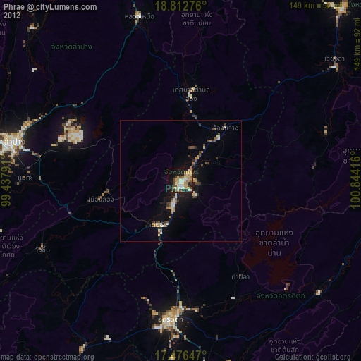
» Earth at Night: Flat Maps 2012, 2016