Trat night lights from space
Night Light of Trat from space (Thailand) Src. Average luminocity for 10x10km area is 28.0165% and for 50x50km: 3.75%.
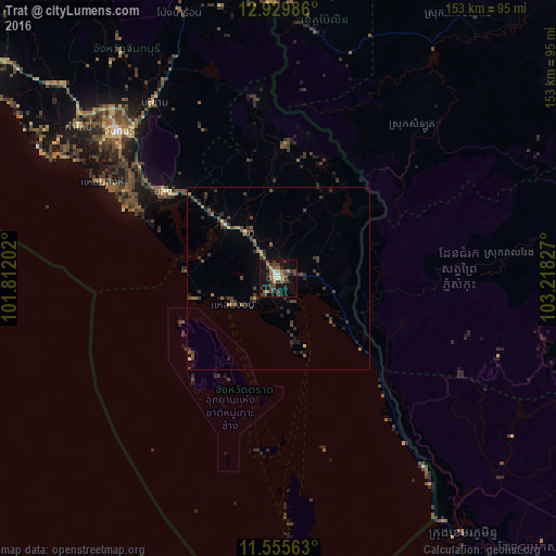
Analysis of Trat night lights 2016
Square area 10x10 km:
 1.24%
1.24%90-99
2.48%80-89
1.24%70-79
4.13%60-69
3.93%50-59
3.51%40-49
12.4%30-39
11.57%20-29
4.75%10-19
28.1%0-9
26.65%Square area 50x50 km:
0.05%90-99
0.11%80-89
0.28%70-79
0.39%60-69
0.39%50-59
0.81%40-49
1.29%30-39
1.82%20-29
0.97%10-19
1.98%0-9
91.93%Clear (daylight) street map image can be seen on geolist.org.
Map coordinates:
12° 55' 47.5" North, 101° 48' 43.3" East
12° 14' 37.1" North, 102° 30' 54.5" East
11° 33' 20.3" North, 103° 13' 5.8" East
Some cities around Trat sort by population:
• Chanthaburi
60.4 km =37.5 mi,  312°
312°
• Koh Kong, KH
86.5 km =53.7 mi,  143°
143°
• Tha Mai
69.5 km =43.2 mi, 307°
• Pailin, KH
68.1 km =42.3 mi,  8°
8°
• Laem Sing
54.8 km =34.1 mi,  298°
298°
• Bo Rai
36.7 km =22.8 mi,  3°
3°
• Khlung
39.6 km =24.6 mi, 306°
• Pong Nam Ron
78.6 km =48.8 mi,  339°
339°
1605279 (p: 21,590)
Sources (retrieved 2019-11-25):
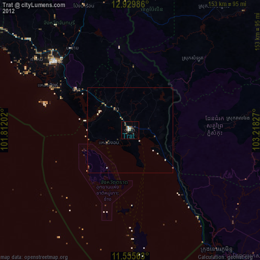
» Earth at Night: Flat Maps 2012, 2016