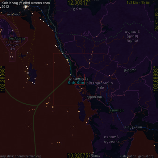
Koh Kong night lights from space
Night Light of Koh Kong from space (Cambodia) Src. Average luminocity for 10x10km area is 3.3485% and for 50x50km: 0.7323%.
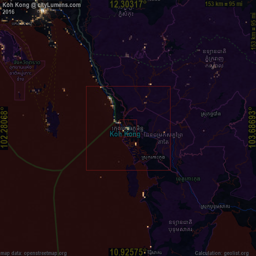
Analysis of Koh Kong night lights 2016
Square area 10x10 km:
 0%
0%90-99
0%80-89
0.87%70-79
0%60-69
0.22%50-59
3.25%40-49
0%30-39
0%20-29
0.87%10-19
0%0-9
94.81%Square area 50x50 km:
0%90-99
0.03%80-89
0.11%70-79
0.08%60-69
0.06%50-59
0.3%40-49
0.2%30-39
0.2%20-29
0.27%10-19
0.16%0-9
98.6%Clear (daylight) street map image can be seen on geolist.org.
Map coordinates:
12° 18' 11.4" North, 102° 16' 50.4" East
11° 36' 55.1" North, 102° 59' 1.7" East
10° 55' 32.7" North, 103° 41' 12.9" East
Some cities around Koh Kong sort by population:
• Sihanoukville
126.7 km =78.7 mi,  151°
151°
• Pursat
144.5 km =89.8 mi,  44°
44°
• Smach Mean Chey
9.5 km =5.9 mi,  143°
143°
• Trat, TH
86.5 km =53.7 mi,  323°
323°
• Pailin
143.1 km =88.9 mi,  343°
343°
• Laem Sing, TH
138.1 km =85.8 mi,  314°
314°
• Bo Rai, TH
117 km =72.7 mi, 335°
• Khlung, TH
124.8 km =77.5 mi, 318°
1830468 (p: 33,134)
Sources (retrieved 2019-11-25):
» Earth at Night: Flat Maps 2012, 2016