Tha Mai night lights from space
Night Light of Tha Mai (Chanthaburi) from space (Thailand) Src. Average luminocity for 10x10km area is 26.868% and for 50x50km: 12.8789%.
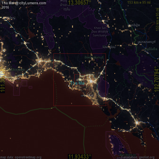
Analysis of Tha Mai night lights 2016
Square area 10x10 km:
 0%
0%90-99
0.22%80-89
3.68%70-79
3.03%60-69
3.68%50-59
8.23%40-49
7.58%30-39
5.63%20-29
9.74%10-19
42.86%0-9
15.37%Square area 50x50 km:
0.16%90-99
0.2%80-89
1.74%70-79
1.19%60-69
1.78%50-59
3.5%40-49
4.08%30-39
4.08%20-29
3.73%10-19
11.61%0-9
67.94%Clear (daylight) street map image can be seen on geolist.org.
Map coordinates:
13° 18' 23.7" North, 101° 18' 6.1" East
12° 37' 16.9" North, 102° 0' 17.3" East
11° 56' 3.6" North, 102° 42' 28.6" East
Some cities around Tha Mai sort by population:
• Chanthaburi
10.9 km =6.8 mi,  96°
96°
• Klaeng
42.5 km =26.4 mi,  294°
294°
• Trat
69.5 km =43.2 mi,  127°
127°
• Ban Phe
61.6 km =38.3 mi,  270°
270°
• Laem Sing
17.2 km =10.7 mi,  154°
154°
• Bo Rai
58 km =36 mi, 95°
• Khlung
29.9 km =18.6 mi, 128°
• Pong Nam Ron
42.2 km =26.2 mi,  41°
41°
1605601 (p: 22,445)
Sources (retrieved 2019-11-25):
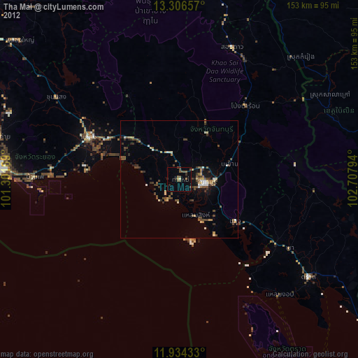
» Earth at Night: Flat Maps 2012, 2016