Pailin night lights from space
Night Light of Pailin from space (Cambodia) Src. Average luminocity for 10x10km area is 2.5325% and for 50x50km: 0.9562%.
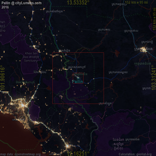
Analysis of Pailin night lights 2016
Square area 10x10 km:
 0%
0%90-99
0%80-89
0%70-79
0%60-69
0%50-59
0.87%40-49
0.22%30-39
1.08%20-29
5.19%10-19
0%0-9
92.64%Square area 50x50 km:
0%90-99
0%80-89
0%70-79
0.08%60-69
0.14%50-59
0.26%40-49
0.31%30-39
0.49%20-29
0.59%10-19
0.38%0-9
97.75%Clear (daylight) street map image can be seen on geolist.org.
Map coordinates:
13° 32' 0.7" North, 101° 54' 22.2" East
12° 50' 56.2" North, 102° 36' 33.4" East
12° 9' 45" North, 103° 18' 44.7" East
Some cities around Pailin sort by population:
• Battambang
69.8 km =43.4 mi,  66°
66°
• Chanthaburi, TH
60.9 km =37.8 mi,  244°
244°
• Tha Mai, TH
70.3 km =43.7 mi,  248°
248°
• Trat, TH
68.1 km =42.3 mi,  188°
188°
• Laem Sing, TH
71 km =44.1 mi,  234°
234°
• Bo Rai, TH
31.7 km =19.7 mi, 194°
• Khlung, TH
60.8 km =37.8 mi,  223°
223°
• Pong Nam Ron, TH
38.1 km =23.7 mi,  279°
279°
1830205 (p: 17,850)
Sources (retrieved 2019-11-25):
» Earth at Night: Flat Maps 2012, 2016