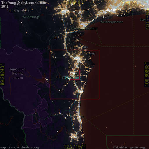
Tha Yang night lights from space
Night Light of Tha Yang (Phetchaburi) from space (Thailand) Src. Average luminocity for 10x10km area is 54.5606% and for 50x50km: 18.609%.

Analysis of Tha Yang night lights 2016
Square area 10x10 km:
 2.38%
2.38%90-99
1.95%80-89
16.45%70-79
13.85%60-69
10.17%50-59
8.66%40-49
15.15%30-39
10.17%20-29
16.67%10-19
4.55%0-9
0%Square area 50x50 km:
0.73%90-99
0.86%80-89
3.45%70-79
3.35%60-69
3.34%50-59
3.44%40-49
4.16%30-39
4.21%20-29
7.33%10-19
11.75%0-9
57.37%Clear (daylight) street map image can be seen on geolist.org.
Map coordinates:
13° 38' 31.1" North, 99° 12' 8.7" East
12° 57' 27.8" North, 99° 54' 20" East
12° 16' 17.7" North, 100° 36' 31.2" East
Some cities around Tha Yang sort by population:
• Ratchaburi
65.1 km =40.5 mi,  351°
351°
• Hua Hin
43.4 km =27 mi,  172°
172°
• Cha-am
18.7 km =11.6 mi,  159°
159°
• Pran Buri
63.7 km =39.6 mi,  180°
180°
• Phetchaburi
17.7 km =11 mi,  13°
13°
• Samut Songkhram
51.9 km =32.2 mi, 11°
• Damnoen Saduak
62.6 km =38.9 mi,  4°
4°
• Khao Yoi
32.6 km =20.3 mi,  344°
344°
1605467 (p: 42,602)
Sources (retrieved 2019-11-25):
» Earth at Night: Flat Maps 2012, 2016