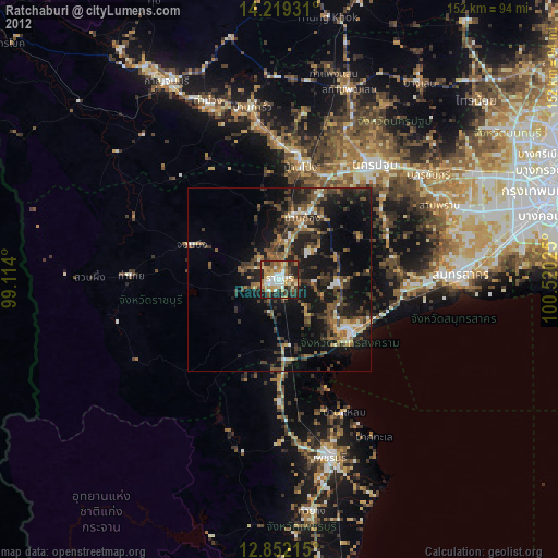
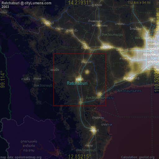
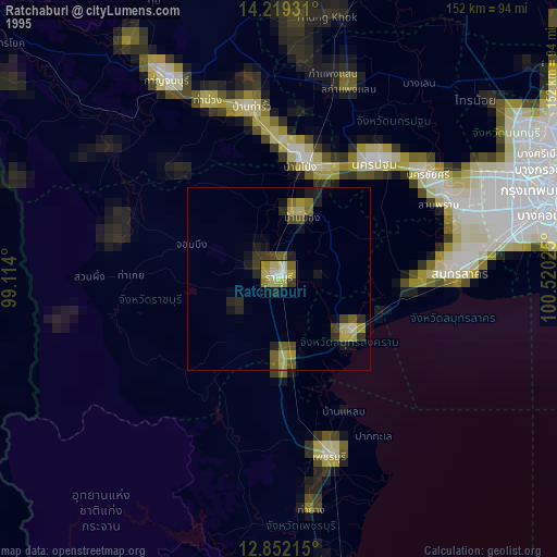
Ratchaburi night lights from space
Night Light of Ratchaburi from space (Thailand) Src. Average luminocity for 10x10km area is 72.0806% and for 50x50km: 25.0898%.
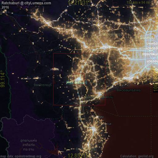
Analysis of Ratchaburi night lights 2016
Square area 10x10 km:
 8.47%
8.47%90-99
13.43%80-89
17.77%70-79
17.36%60-69
15.08%50-59
10.95%40-49
12.19%30-39
3.51%20-29
1.24%10-19
0%0-9
0%Square area 50x50 km:
0.88%90-99
1.37%80-89
3.59%70-79
3.86%60-69
4.57%50-59
5.27%40-49
6.41%30-39
8.06%20-29
9.11%10-19
18.11%0-9
38.77%Clear (daylight) street map image can be seen on geolist.org.
Map coordinates:
14° 13' 9.5" North, 99° 6' 50.4" East
13° 32' 12.2" North, 99° 49' 1.6" East
12° 51' 7.7" North, 100° 31' 12.9" East
Some cities around Ratchaburi sort by population:
• Ban Pong
31.8 km =19.8 mi,  11°
11°
• Ban Phaeo
32 km =19.9 mi,  79°
79°
• Photharam
17.7 km =11 mi, 11°
• Samut Songkhram
24.2 km =15 mi,  124°
124°
• Bang Phae
21.1 km =13.1 mi,  35°
35°
• Damnoen Saduak
15 km =9.3 mi,  97°
97°
• Khao Yoi
33 km =20.5 mi,  178°
178°
• Chom Bueng
26.1 km =16.2 mi,  290°
290°
1150954 (p: 92,448)
Sources (retrieved 2019-11-25):
» NASA, Earths city lights 1995
» NASA city lights 2003
» Earth at Night: Flat Maps 2012, 2016