Samut Songkhram night lights from space
Night Light of Samut Songkhram from space (Thailand) Src. Average luminocity for 10x10km area is 56.25% and for 50x50km: 26.3113%.
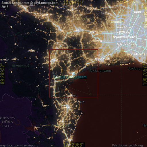
Analysis of Samut Songkhram night lights 2016
Square area 10x10 km:
 7.44%
7.44%90-99
8.68%80-89
5.58%70-79
11.36%60-69
9.5%50-59
18.18%40-49
7.64%30-39
9.71%20-29
13.84%10-19
7.64%0-9
0.41%Square area 50x50 km:
0.98%90-99
1.6%80-89
3.83%70-79
3.83%60-69
5.28%50-59
5.74%40-49
6.01%30-39
7.86%20-29
8.8%10-19
21.67%0-9
34.39%Clear (daylight) street map image can be seen on geolist.org.
Map coordinates:
14° 5' 51" North, 99° 17' 58.3" East
13° 24' 52.4" North, 100° 0' 9.5" East
12° 43' 46.8" North, 100° 42' 20.8" East
Some cities around Samut Songkhram sort by population:
• Ratchaburi
24.2 km =15 mi,  304°
304°
• Krathum Baen
38.4 km =23.9 mi,  46°
46°
• Phetchaburi
34.2 km =21.3 mi,  190°
190°
• Ban Phaeo
22.6 km =14 mi,  30°
30°
• Photharam
35 km =21.7 mi,  331°
331°
• Bang Phae
31.8 km =19.8 mi,  345°
345°
• Damnoen Saduak
12.6 km =7.8 mi,  335°
335°
• Khao Yoi
27.4 km =17 mi,  224°
224°
1606586 (p: 35,065)
Sources (retrieved 2019-11-25):
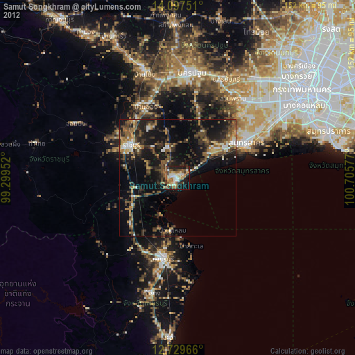
» Earth at Night: Flat Maps 2012, 2016