Tha Maka night lights from space
Night Light of Tha Maka (Kanchanaburi) from space (Thailand) Src. Average luminocity for 10x10km area is 46.6033% and for 50x50km: 26.5386%.
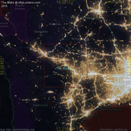
Analysis of Tha Maka night lights 2016
Square area 10x10 km:
 0.83%
0.83%90-99
1.65%80-89
10.12%70-79
8.88%60-69
11.57%50-59
11.98%40-49
12.6%30-39
11.78%20-29
13.22%10-19
15.08%0-9
2.27%Square area 50x50 km:
0.7%90-99
1.05%80-89
3.68%70-79
4.44%60-69
6.62%50-59
7.54%40-49
5.93%30-39
6.37%20-29
9.16%10-19
13.86%0-9
40.65%Clear (daylight) street map image can be seen on geolist.org.
Map coordinates:
14° 34' 53.4" North, 99° 3' 48.8" East
13° 54' 0" North, 99° 46' 0" East
13° 12' 59.3" North, 100° 28' 11.3" East
Some cities around Tha Maka sort by population:
• Nakhon Pathom
31.3 km =19.4 mi,  106°
106°
• Ratchaburi
40.8 km =25.4 mi,  172°
172°
• Kanchanaburi
26.3 km =16.3 mi,  296°
296°
• Ban Pong
15.1 km =9.4 mi,  127°
127°
• Photharam
24.8 km =15.4 mi,  158°
158°
• Bang Phae
29.1 km =18.1 mi,  142°
142°
• Chom Bueng
36.4 km =22.6 mi,  211°
211°
• Phanom Thuan
26.6 km =16.5 mi,  343°
343°
1150275 (p: 52,907)
Sources (retrieved 2019-11-25):
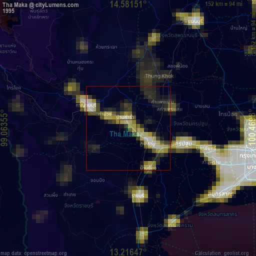
» NASA, Earths city lights 1995
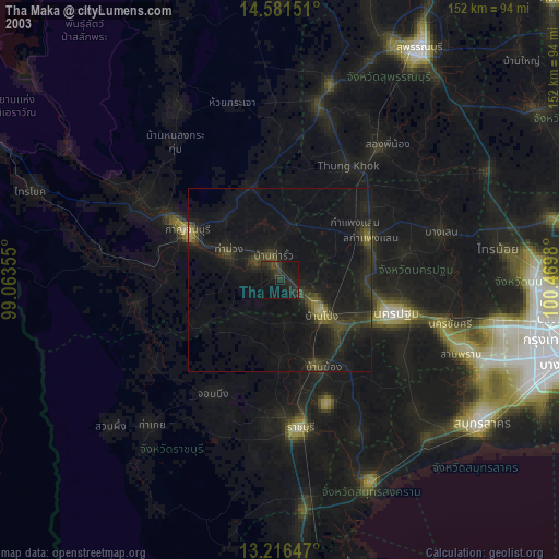
» NASA city lights 2003
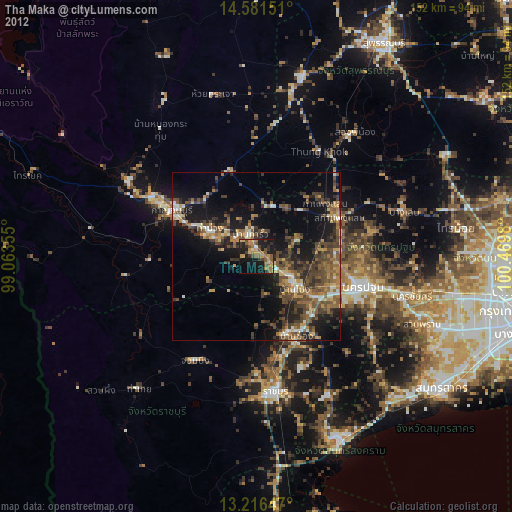
» Earth at Night: Flat Maps 2012, 2016