Bang Phae night lights from space
Night Light of Bang Phae (Ratchaburi) from space (Thailand) Src. Average luminocity for 10x10km area is 42.8905% and for 50x50km: 41.9365%.
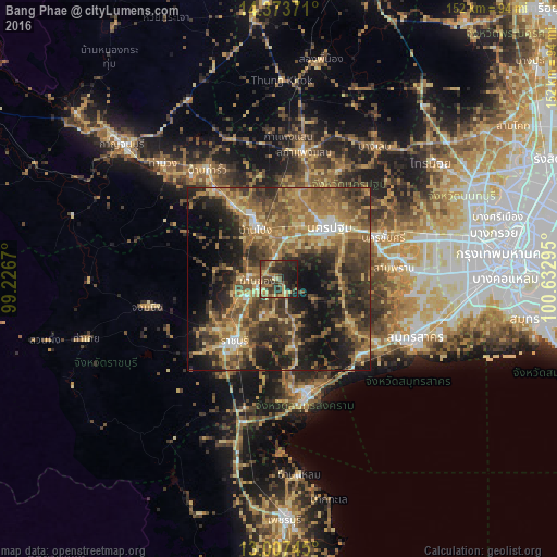
Analysis of Bang Phae night lights 2016
Square area 10x10 km:
 0%
0%90-99
0%80-89
10.74%70-79
7.02%60-69
7.23%50-59
11.36%40-49
10.95%30-39
15.7%20-29
22.31%10-19
14.67%0-9
0%Square area 50x50 km:
1.69%90-99
2.5%80-89
6.85%70-79
7.47%60-69
10.78%50-59
9.99%40-49
9.76%30-39
11.63%20-29
12.06%10-19
16.05%0-9
11.22%Clear (daylight) street map image can be seen on geolist.org.
Map coordinates:
14° 22' 25.4" North, 99° 13' 36.1" East
13° 41' 29.7" North, 99° 55' 47.4" East
13° 0' 26.8" North, 100° 37' 58.6" East
Some cities around Bang Phae sort by population:
• Nakhon Pathom
18.9 km =11.7 mi,  40°
40°
• Ratchaburi
21.1 km =13.1 mi,  215°
215°
• Ban Pong
15 km =9.3 mi,  337°
337°
• Tha Maka
29.1 km =18.1 mi,  322°
322°
• Ban Phaeo
22.2 km =13.8 mi,  120°
120°
• Sam Phran
31.1 km =19.3 mi,  82°
82°
• Photharam
8.7 km =5.4 mi,  270°
270°
• Damnoen Saduak
19.5 km =12.1 mi,  172°
172°
1157683 (p: 29,548)
Sources (retrieved 2019-11-25):
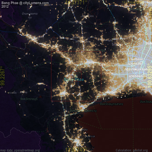
» Earth at Night: Flat Maps 2012, 2016