Ban Pong night lights from space
Night Light of Ban Pong (Ratchaburi) from space (Thailand) Src. Average luminocity for 10x10km area is 69.3058% and for 50x50km: 38.3751%.
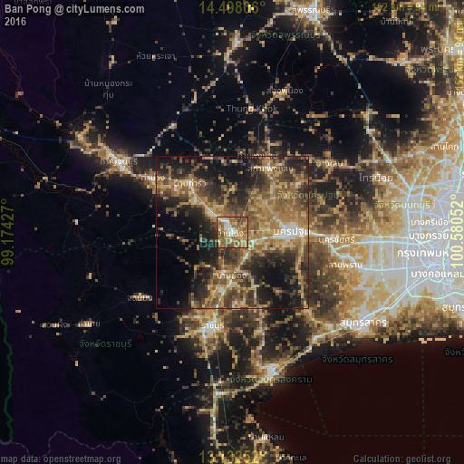
Analysis of Ban Pong night lights 2016
Square area 10x10 km:
 6.82%
6.82%90-99
6.82%80-89
15.5%70-79
15.08%60-69
25.83%50-59
19.21%40-49
8.68%30-39
0.83%20-29
1.24%10-19
0%0-9
0%Square area 50x50 km:
1.36%90-99
1.97%80-89
5.91%70-79
7.2%60-69
10.09%50-59
10.15%40-49
8.9%30-39
9.23%20-29
11.67%10-19
14.81%0-9
18.72%Clear (daylight) street map image can be seen on geolist.org.
Map coordinates:
14° 29' 53" North, 99° 10' 27.4" East
13° 48' 58.6" North, 99° 52' 38.6" East
13° 7' 57.1" North, 100° 34' 49.9" East
Some cities around Ban Pong sort by population:
• Nakhon Pathom
18 km =11.2 mi,  88°
88°
• Ratchaburi
31.8 km =19.8 mi,  191°
191°
• Tha Maka
15.1 km =9.4 mi,  307°
307°
• Sam Phran
37.8 km =23.5 mi,  105°
105°
• Photharam
14.1 km =8.8 mi, 192°
• Bang Phae
15 km =9.3 mi,  157°
157°
• Tha Muang
30.2 km =18.8 mi,  302°
302°
• Damnoen Saduak
34.2 km =21.3 mi,  165°
165°
1155139 (p: 57,559)
Sources (retrieved 2019-11-25):
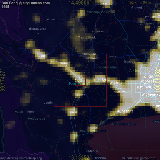
» NASA, Earths city lights 1995
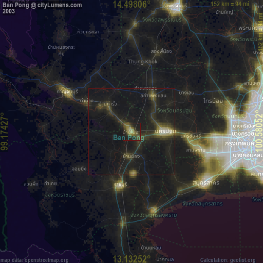
» NASA city lights 2003
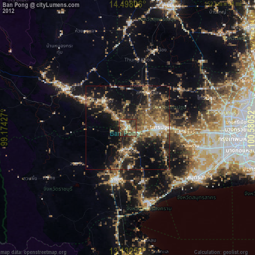
» Earth at Night: Flat Maps 2012, 2016