Sam Roi Yot night lights from space
Night Light of Sam Roi Yot (Prachuap Khiri Khan) from space (Thailand) Src. Average luminocity for 10x10km area is 11.0227% and for 50x50km: 6.566%.
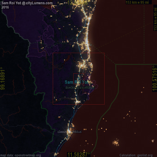
Analysis of Sam Roi Yot night lights 2016
Square area 10x10 km:
 0%
0%90-99
0%80-89
0.83%70-79
0%60-69
2.69%50-59
2.69%40-49
3.31%30-39
6.2%20-29
1.65%10-19
1.24%0-9
81.4%Square area 50x50 km:
0.1%90-99
0.1%80-89
1.07%70-79
0.92%60-69
1.28%50-59
1.14%40-49
1.41%30-39
1.72%20-29
1.86%10-19
5.35%0-9
85.06%Clear (daylight) street map image can be seen on geolist.org.
Map coordinates:
12° 57' 25.1" North, 99° 10' 8.1" East
12° 16' 14.9" North, 99° 52' 19.3" East
11° 34' 58.3" North, 100° 34' 30.6" East
Some cities around Sam Roi Yot sort by population:
• Hua Hin
34.6 km =21.5 mi,  15°
15°
• Cha-am
59.7 km =37.1 mi,  9°
9°
• Pran Buri
13.1 km =8.1 mi, 14°
• Phetchaburi
93.9 km =58.3 mi,  4°
4°
• Tha Yang
76.5 km =47.5 mi, 2°
• Prachuap Khiri Khan
50.9 km =31.6 mi,  190°
190°
• Kui Buri
21 km =13 mi, 185°
• Khao Yoi
107.9 km =67 mi,  357°
357°
1117823 (p: 19,709)
Sources (retrieved 2019-11-25):
» Earth at Night: Flat Maps 2012, 2016