Kui Buri night lights from space
Night Light of Kui Buri (Prachuap Khiri Khan) from space (Thailand) Src. Average luminocity for 10x10km area is 17.2004% and for 50x50km: 2.9435%.
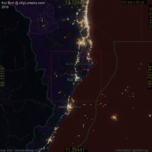
Analysis of Kui Buri night lights 2016
Square area 10x10 km:
 0.83%
0.83%90-99
0.83%80-89
4.13%70-79
2.48%60-69
1.65%50-59
1.65%40-49
3.1%30-39
6.61%20-29
3.1%10-19
2.69%0-9
72.93%Square area 50x50 km:
0.03%90-99
0.03%80-89
0.42%70-79
0.45%60-69
0.51%50-59
0.4%40-49
0.59%30-39
1.04%20-29
0.76%10-19
0.73%0-9
95.03%Clear (daylight) street map image can be seen on geolist.org.
Map coordinates:
12° 46' 10.1" North, 99° 9' 4.3" East
12° 4' 58.2" North, 99° 51' 15.5" East
11° 23' 39.9" North, 100° 33' 26.8" East
Some cities around Kui Buri sort by population:
• Hua Hin
55.4 km =34.4 mi,  11°
11°
• Cha-am
80.7 km =50.1 mi, 8°
• Pran Buri
34 km =21.1 mi, 8°
• Phetchaburi
114.8 km =71.3 mi,  4°
4°
• Tha Yang
97.4 km =60.5 mi, 3°
• Prachuap Khiri Khan
30.1 km =18.7 mi,  194°
194°
• Sam Roi Yot
21 km =13 mi, 5°
• Bang Saphan
103.7 km =64.4 mi,  201°
201°
1152562 (p: 19,046)
Sources (retrieved 2019-11-25):
» Earth at Night: Flat Maps 2012, 2016