Nakhon Thai night lights from space
Night Light of Nakhon Thai (Phitsanulok) from space (Thailand) Src. Average luminocity for 10x10km area is 6.9827% and for 50x50km: 0.6466%.
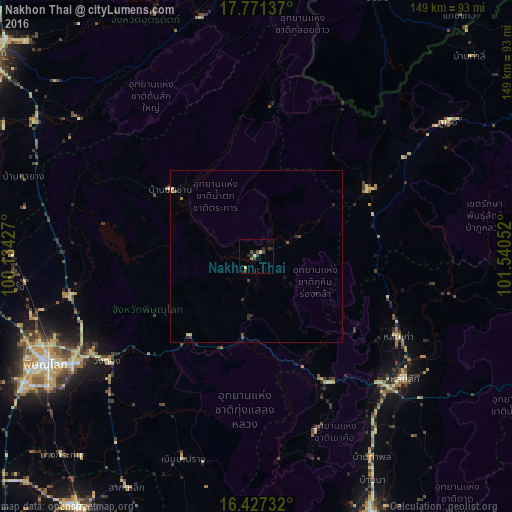
Analysis of Nakhon Thai night lights 2016
Square area 10x10 km:
 0%
0%90-99
0.22%80-89
2.38%70-79
0.43%60-69
0.43%50-59
0.65%40-49
2.6%30-39
2.81%20-29
2.6%10-19
1.3%0-9
86.58%Square area 50x50 km:
0%90-99
0.02%80-89
0.19%70-79
0.02%60-69
0.08%50-59
0.09%40-49
0.22%30-39
0.22%20-29
0.3%10-19
0.19%0-9
98.68%Clear (daylight) street map image can be seen on geolist.org.
Map coordinates:
17° 46' 16.9" North, 100° 8' 3.4" East
17° 6' 2" North, 100° 50' 14.6" East
16° 25' 38.4" North, 101° 32' 25.9" East
Some cities around Nakhon Thai sort by population:
• Phitsanulok
68.8 km =42.8 mi,  243°
243°
• Uttaradit
98.1 km =61 mi,  306°
306°
• Phetchabun
83.2 km =51.7 mi,  155°
155°
• Phichit
89.8 km =55.8 mi,  215°
215°
• Bang Krathum
81.5 km =50.6 mi, 224°
• Lom Sak
55.9 km =34.7 mi,  129°
129°
• Bang Rakam
85.5 km =53.1 mi, 243°
• Wang Sai Phun
85.3 km =53 mi,  201°
201°
1608524 (p: 12,345)
Sources (retrieved 2019-11-25):
» Earth at Night: Flat Maps 2012, 2016