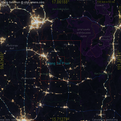
Wang Sai Phun night lights from space
Night Light of Wang Sai Phun (Phichit) from space (Thailand) Src. Average luminocity for 10x10km area is 2.25% and for 50x50km: 5.5079%.
Analysis of Wang Sai Phun night lights 2016
Square area 10x10 km:
 0%
0%90-99
0%80-89
0.83%70-79
0%60-69
0%50-59
0%40-49
1.65%30-39
1.65%20-29
0%10-19
0%0-9
95.87%Square area 50x50 km:
0.11%90-99
0.39%80-89
0.76%70-79
0.79%60-69
0.74%50-59
0.82%40-49
1.55%30-39
1.74%20-29
1.09%10-19
3.16%0-9
88.86%Clear (daylight) street map image can be seen on geolist.org.
Map coordinates:
17° 3' 42.8" North, 99° 50' 5.6" East
16° 23' 18.6" North, 100° 32' 16.8" East
15° 42' 46" North, 101° 14' 28.1" East
Some cities around Wang Sai Phun sort by population:
• Phitsanulok
56.9 km =35.4 mi,  328°
328°
• Phichit
21 km =13 mi,  286°
286°
• Taphan Hin
22.5 km =14 mi,  214°
214°
• Bang Krathum
33 km =20.5 mi,  309°
309°
• Chon Daen
40.8 km =25.4 mi,  122°
122°
• Bang Mun Nak
43.5 km =27 mi,  202°
202°
• Thap Khlo
26.2 km =16.3 mi,  166°
166°
• Nong Bua
58.5 km =36.4 mi, 174°
1605156 (p: 8,899)
Sources (retrieved 2019-11-25):
» Earth at Night: Flat Maps 2012, 2016