Phetchabun night lights from space
Night Light of Phetchabun from space (Thailand) Src. Average luminocity for 10x10km area is 41.9773% and for 50x50km: 4.4658%.
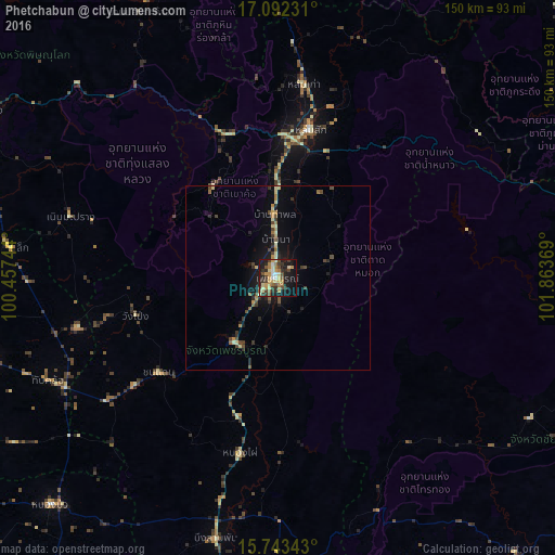
Analysis of Phetchabun night lights 2016
Square area 10x10 km:
 2.48%
2.48%90-99
4.75%80-89
9.3%70-79
8.68%60-69
7.23%50-59
4.96%40-49
7.44%30-39
9.09%20-29
8.47%10-19
29.34%0-9
8.26%Square area 50x50 km:
0.1%90-99
0.34%80-89
0.8%70-79
0.64%60-69
0.66%50-59
0.5%40-49
1.04%30-39
0.89%20-29
0.98%10-19
3.43%0-9
90.62%Clear (daylight) street map image can be seen on geolist.org.
Map coordinates:
17° 5' 32.3" North, 100° 27' 26.8" East
16° 25' 8.5" North, 101° 9' 38" East
15° 44' 36.3" North, 101° 51' 49.3" East
Some cities around Phetchabun sort by population:
• Wichian Buri
84.8 km =52.7 mi,  183°
183°
• Nong Phai
48.8 km =30.3 mi,  192°
192°
• Taphan Hin
82.1 km =51 mi,  254°
254°
• Chon Daen
41 km =25.5 mi,  231°
231°
• Lom Sak
41 km =25.5 mi,  12°
12°
• Thap Khlo
66.7 km =41.4 mi,  244°
244°
• Nakhon Thai
83.2 km =51.7 mi,  335°
335°
• Wang Sai Phun
66.5 km =41.3 mi,  267°
267°
1607737 (p: 50,656)
Sources (retrieved 2019-11-25):
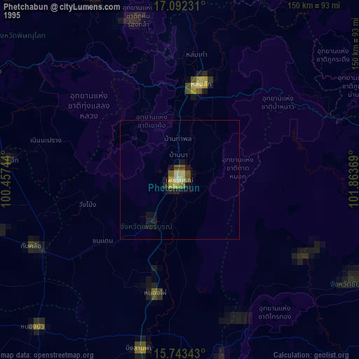
» NASA, Earths city lights 1995
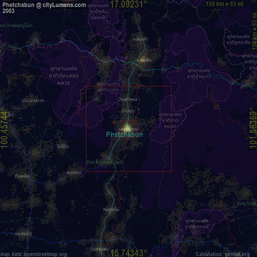
» NASA city lights 2003
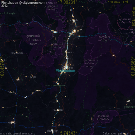
» Earth at Night: Flat Maps 2012, 2016