Klaeng night lights from space
Night Light of Klaeng (Rayong) from space (Thailand) Src. Average luminocity for 10x10km area is 40.9827% and for 50x50km: 10.6389%.
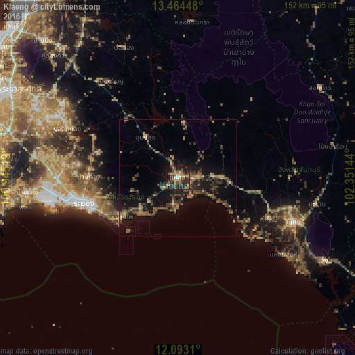

Analysis of Klaeng night lights 2016
Square area 10x10 km:
 1.52%
1.52%90-99
1.73%80-89
4.76%70-79
7.58%60-69
7.14%50-59
12.12%40-49
12.77%30-39
9.31%20-29
18.18%10-19
24.46%0-9
0.43%Square area 50x50 km:
0.11%90-99
0.14%80-89
1.32%70-79
1.29%60-69
2.09%50-59
2.16%40-49
2.85%30-39
3.19%20-29
2.94%10-19
10.43%0-9
73.48%Clear (daylight) street map image can be seen on geolist.org.
Map coordinates:
13° 27' 52.1" North, 100° 56' 42.7" East
12° 46' 47" North, 101° 38' 53.9" East
12° 5' 35.2" North, 102° 21' 5.2" East
Some cities around Klaeng sort by population:
• Rayong
43.7 km =27.2 mi,  255°
255°
• Chanthaburi
53 km =32.9 mi,  110°
110°
• Ban Chang
64.6 km =40.1 mi, 264°
• Tha Mai
42.5 km =26.4 mi, 114°
• Ban Phe
28.4 km =17.6 mi,  233°
233°
• Laem Sing
56.8 km =35.3 mi,  125°
125°
• Khlung
71.9 km =44.7 mi,  120°
120°
• Pong Nam Ron
68 km =42.3 mi,  78°
78°
1609610 (p: 55,619)
Sources (retrieved 2019-11-25):
» NASA, Earths city lights 1995
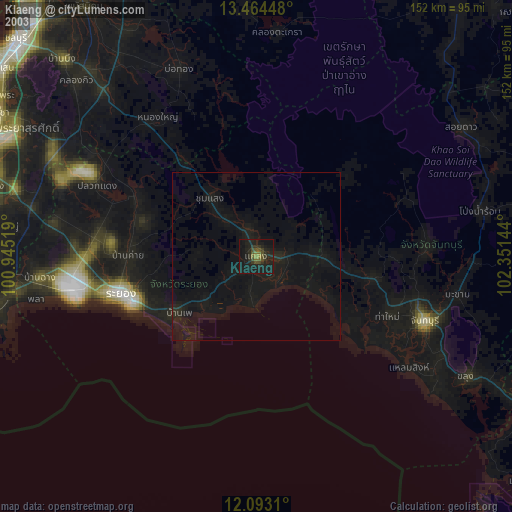
» NASA city lights 2003
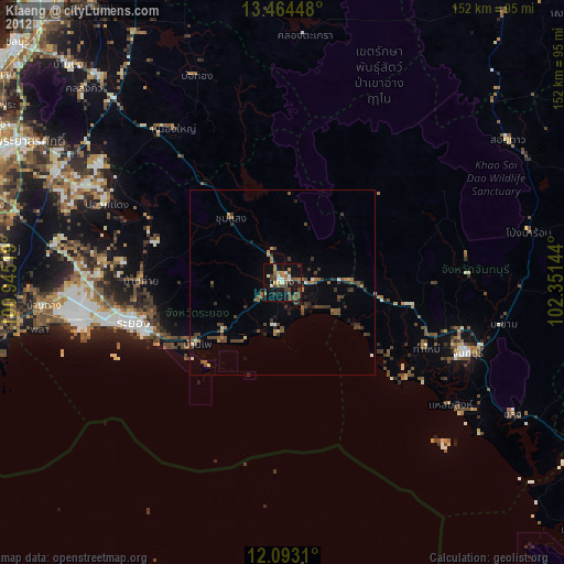
» Earth at Night: Flat Maps 2012, 2016