Ban Chang night lights from space
Night Light of Ban Chang (Rayong) from space (Thailand) Src. Average luminocity for 10x10km area is 69.4848% and for 50x50km: 38.2705%.
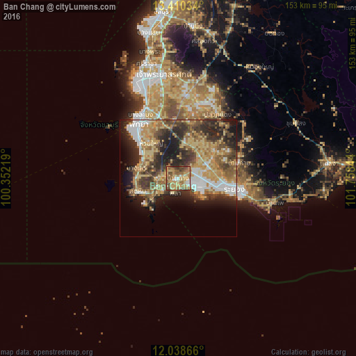
Analysis of Ban Chang night lights 2016
Square area 10x10 km:
 4.98%
4.98%90-99
8.23%80-89
17.32%70-79
21.65%60-69
17.53%50-59
14.94%40-49
12.12%30-39
2.38%20-29
0.87%10-19
0%0-9
0%Square area 50x50 km:
4.72%90-99
4.65%80-89
7.78%70-79
7.16%60-69
6.85%50-59
6.3%40-49
6.62%30-39
6.52%20-29
10.05%10-19
9.36%0-9
30%Clear (daylight) street map image can be seen on geolist.org.
Map coordinates:
13° 24' 37.2" North, 100° 21' 7.9" East
12° 43' 31.5" North, 101° 3' 19.1" East
12° 2' 19.2" North, 101° 45' 30.4" East
Some cities around Ban Chang sort by population:
• Si Racha
51.6 km =32.1 mi,  344°
344°
• Rayong
22.5 km =14 mi,  102°
102°
• Pattaya
29.7 km =18.5 mi,  321°
321°
• Sattahip
18 km =11.2 mi,  248°
248°
• Klaeng
64.6 km =40.1 mi,  84°
84°
• Bang Lamung
38.3 km =23.8 mi, 339°
• Ban Talat Bueng
38.9 km =24.2 mi,  351°
351°
• Ban Phe
42.9 km =26.7 mi, 104°
1620254 (p: 28,204)
Sources (retrieved 2019-11-25):
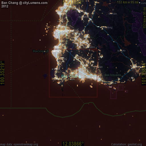
» Earth at Night: Flat Maps 2012, 2016