Dok Kham Tai night lights from space
Night Light of Dok Kham Tai (Phayao) from space (Thailand) Src. Average luminocity for 10x10km area is 10.1797% and for 50x50km: 4.066%.
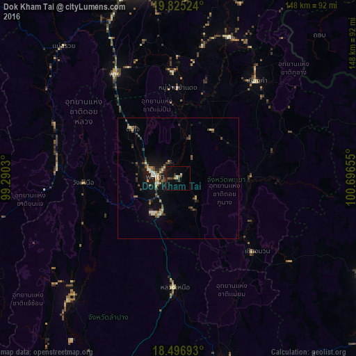
Analysis of Dok Kham Tai night lights 2016
Square area 10x10 km:
 0%
0%90-99
1.3%80-89
1.08%70-79
1.08%60-69
0.87%50-59
0.87%40-49
2.6%30-39
2.6%20-29
1.73%10-19
9.74%0-9
78.14%Square area 50x50 km:
0.12%90-99
0.67%80-89
0.42%70-79
0.43%60-69
0.53%50-59
0.48%40-49
1.07%30-39
0.64%20-29
0.82%10-19
3.36%0-9
91.45%Clear (daylight) street map image can be seen on geolist.org.
Map coordinates:
19° 49' 30.9" North, 99° 17' 25.1" East
19° 9' 44.7" North, 99° 59' 36.3" East
18° 29' 48.9" North, 100° 41' 47.6" East
Some cities around Dok Kham Tai sort by population:
• Chiang Rai
84.7 km =52.6 mi,  348°
348°
• Nan
92.7 km =57.6 mi,  117°
117°
• Phayao
12.5 km =7.8 mi,  285°
285°
• Pong
29.6 km =18.4 mi,  92°
92°
• Chiang Kham
51.4 km =31.9 mi,  38°
38°
• Pa Daet
38.1 km =23.7 mi,  359°
359°
• Chiang Klang
92.3 km =57.4 mi,  80°
80°
• Mae Chai
27.8 km =17.3 mi,  317°
317°
1153464 (p: 23,824)
Sources (retrieved 2019-11-25):
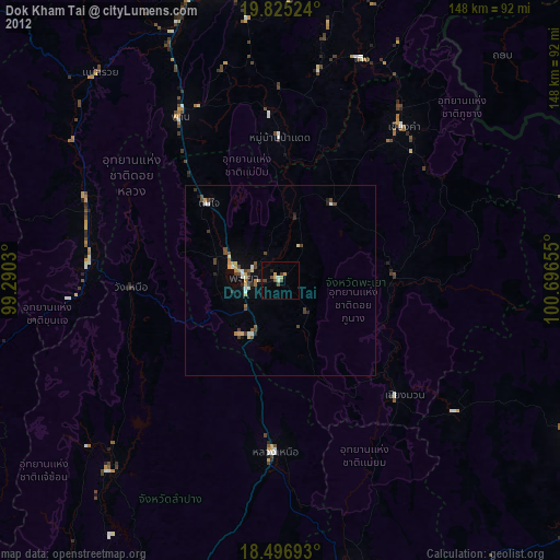
» Earth at Night: Flat Maps 2012, 2016