Nan night lights from space
Night Light of Nan from space (Thailand) Src. Average luminocity for 10x10km area is 43.4545% and for 50x50km: 3.7433%.
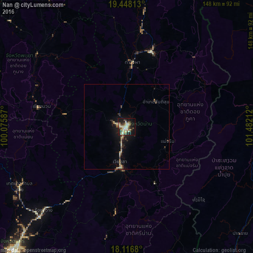
Analysis of Nan night lights 2016
Square area 10x10 km:
 2.07%
2.07%90-99
15.7%80-89
7.44%70-79
2.89%60-69
4.55%50-59
3.31%40-49
8.68%30-39
4.96%20-29
13.02%10-19
29.55%0-9
7.85%Square area 50x50 km:
0.09%90-99
0.73%80-89
0.8%70-79
0.24%60-69
0.45%50-59
0.25%40-49
0.69%30-39
0.58%20-29
0.95%10-19
3.07%0-9
92.15%Clear (daylight) street map image can be seen on geolist.org.
Map coordinates:
19° 26' 53.3" North, 100° 4' 33.1" East
18° 47' 1.6" North, 100° 46' 44.4" East
18° 7' 0.5" North, 101° 28' 55.6" East
Some cities around Nan sort by population:
• Phrae
97.8 km =60.8 mi,  223°
223°
• Dok Kham Tai
92.7 km =57.6 mi,  297°
297°
• Phayao
105 km =65.2 mi, 295°
• Pong
66.8 km =41.5 mi,  307°
307°
• Chiang Kham
96.4 km =59.9 mi,  328°
328°
• Sainyabuli, LA
111.2 km =69.1 mi,  61°
61°
• Chiang Klang
57.4 km =35.7 mi,  8°
8°
• Rong Kwang
69.4 km =43.1 mi, 224°
1608452 (p: 24,670)
Sources (retrieved 2019-11-25):
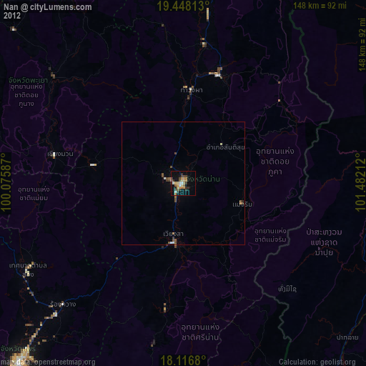
» Earth at Night: Flat Maps 2012, 2016