Warin Chamrap night lights from space
Night Light of Warin Chamrap (Ubon Ratchathani) from space (Thailand) Src. Average luminocity for 10x10km area is 70.2541% and for 50x50km: 13.4175%.
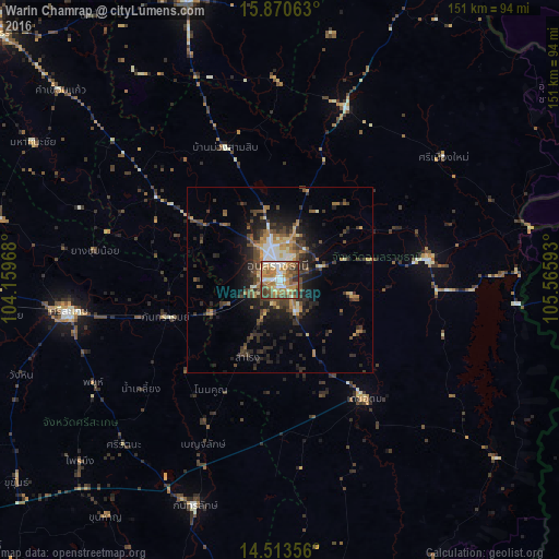
Analysis of Warin Chamrap night lights 2016
Square area 10x10 km:
 9.92%
9.92%90-99
15.29%80-89
5.37%70-79
19.21%60-69
20.45%50-59
9.92%40-49
12.6%30-39
6.61%20-29
0.62%10-19
0%0-9
0%Square area 50x50 km:
0.99%90-99
1.75%80-89
0.99%70-79
2.14%60-69
2.28%50-59
1.76%40-49
3.46%30-39
3.13%20-29
5%10-19
6.69%0-9
71.79%Clear (daylight) street map image can be seen on geolist.org.
Map coordinates:
15° 52' 14.3" North, 104° 9' 34.8" East
15° 11' 35.5" North, 104° 51' 46.1" East
14° 30' 48.8" North, 105° 33' 57.3" East
Some cities around Warin Chamrap sort by population:
• Ubon Ratchathani
5.3 km =3.3 mi,  343°
343°
• Si Sa Ket
57.9 km =36 mi,  261°
261°
• Kantharalak
65.6 km =40.8 mi,  200°
200°
• Det Udom
39.4 km =24.5 mi,  144°
144°
• Amnat Charoen
78.1 km =48.5 mi, 341°
• Phibun Mangsahan
39.7 km =24.7 mi,  81°
81°
• Phrai Bueng
73 km =45.4 mi,  227°
227°
• Sawang Wirawong
25.2 km =15.7 mi, 77°
1605069 (p: 43,102)
Sources (retrieved 2019-11-25):
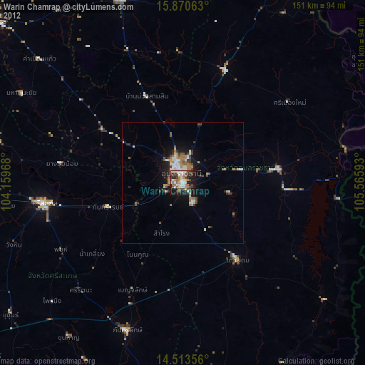
» Earth at Night: Flat Maps 2012, 2016