Mukdahan night lights from space
Night Light of Mukdahan from space (Thailand) Src. Average luminocity for 10x10km area is 58.9401% and for 50x50km: 6.1204%.
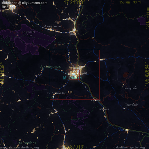
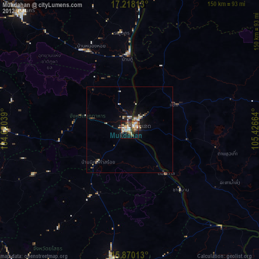
Analysis of Mukdahan night lights 2016
Square area 10x10 km:
 5.99%
5.99%90-99
12.6%80-89
12.81%70-79
16.32%60-69
5.99%50-59
6.2%40-49
7.85%30-39
6.2%20-29
11.16%10-19
14.46%0-9
0.41%Square area 50x50 km:
0.32%90-99
1%80-89
1.03%70-79
1.19%60-69
0.6%50-59
0.55%40-49
1.12%30-39
1.26%20-29
1.59%10-19
4.28%0-9
87.06%Clear (daylight) street map image can be seen on geolist.org.
Map coordinates:
17° 13' 5.3" North, 104° 1' 13.4" East
16° 32' 43.1" North, 104° 43' 24.6" East
15° 52' 12.5" North, 105° 25' 35.9" East
Some cities around Mukdahan sort by population:
• Sakon Nakhon
91.9 km =57.1 mi,  318°
318°
• Savannakhet, LA
5 km =3.1 mi,  56°
56°
• Amnat Charoen
77 km =47.8 mi,  187°
187°
• Kuchinarai
71.8 km =44.6 mi,  269°
269°
• Khao Wong
69.6 km =43.2 mi,  284°
284°
• That Phanom
43.5 km =27 mi,  358°
358°
• Waeng
84.1 km =52.3 mi,  251°
251°
• Moeiwadi
62.8 km =39 mi, 253°
1608597 (p: 40,480)
Sources (retrieved 2019-11-25):
» Earth at Night: Flat Maps 2012, 2016