Ubon Ratchathani night lights from space
Night Light of Ubon Ratchathani from space (Thailand) Src. Average luminocity for 10x10km area is 81.9442% and for 50x50km: 13.1103%.
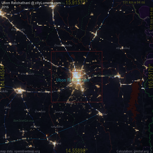

Analysis of Ubon Ratchathani night lights 2016
Square area 10x10 km:
 20.04%
90-99
25.83%80-89
9.09%70-79
19.21%60-69
14.46%50-59
5.37%40-49
4.55%30-39
1.45%20-29
0%10-19
0%0-9
0%Square area 50x50 km:
0.99%90-99
1.75%80-89
0.99%70-79
2.14%60-69
2.25%50-59
1.76%40-49
3.42%30-39
3.02%20-29
4.46%10-19
6.41%0-9
72.81%Clear (daylight) street map image can be seen on geolist.org.
Map coordinates:
15° 54' 56.6" North, 104° 8' 43.9" East
15° 14' 18.4" North, 104° 50' 55.2" East
14° 33' 32.3" North, 105° 33' 6.4" East
Some cities around Ubon Ratchathani sort by population:
• Si Sa Ket
57.4 km =35.7 mi,  256°
256°
• Warin Chamrap
5.3 km =3.3 mi,  163°
163°
• Kantharalak
69.8 km =43.4 mi,  197°
197°
• Det Udom
44.4 km =27.6 mi,  146°
146°
• Amnat Charoen
72.9 km =45.3 mi,  341°
341°
• Phibun Mangsahan
40.8 km =25.4 mi,  89°
89°
• Phrai Bueng
75.5 km =46.9 mi,  223°
223°
• Sawang Wirawong
26.1 km =16.2 mi, 89°
1605245 (p: 122,533)
Sources (retrieved 2019-11-25):
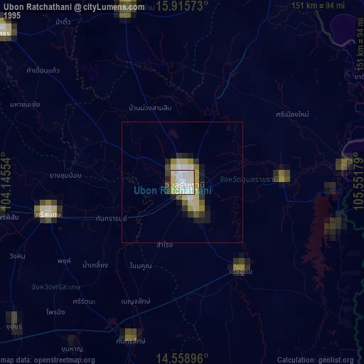
» NASA, Earths city lights 1995
» NASA city lights 2003
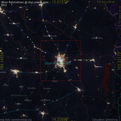
» Earth at Night: Flat Maps 2012, 2016