Djougou night lights from space
Night Light of Djougou (Donga) from space (Benin) Src. Average luminocity for 10x10km area is 12.1364% and for 50x50km: 0.4889%.
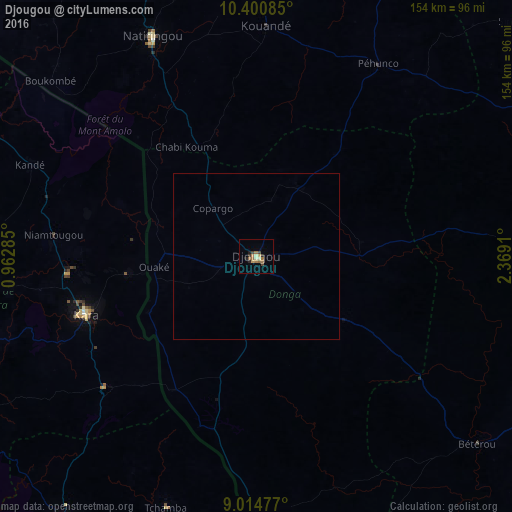
Analysis of Djougou night lights 2016
Square area 10x10 km:
 0%
0%90-99
1.3%80-89
1.52%70-79
1.95%60-69
5.63%50-59
0.87%40-49
1.3%30-39
2.16%20-29
2.38%10-19
1.3%0-9
81.6%Square area 50x50 km:
0%90-99
0.05%80-89
0.06%70-79
0.08%60-69
0.22%50-59
0.03%40-49
0.05%30-39
0.08%20-29
0.09%10-19
0.05%0-9
99.29%Clear (daylight) street map image can be seen on geolist.org.
Map coordinates:
10° 24' 3.1" North, 0° 57' 46.3" East
9° 42' 30.7" North, 1° 39' 57.5" East
9° 0' 53.2" North, 2° 22' 8.8" East
Some cities around Djougou sort by population:
• Kara, TG
55.4 km =34.4 mi,  251°
251°
• Natitingou
73.3 km =45.5 mi,  334°
334°
• Tchamba, TG
79.9 km =49.6 mi,  200°
200°
• Bassila
77.9 km =48.4 mi,  180°
180°
• Niamtougou, TG
61.8 km =38.4 mi,  276°
276°
• Bafilo, TG
59.2 km =36.8 mi,  227°
227°
• Kandé, TG
73.5 km =45.7 mi,  292°
292°
• Pagouda, TG
37.4 km =23.2 mi, 277°
2394560 (p: 237,040)
Sources (retrieved 2019-11-25):
» NASA, Earths city lights 1995
» NASA city lights 2003
» Earth at Night: Flat Maps 2012, 2016