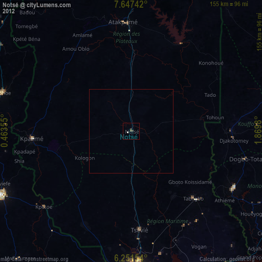
Notsé night lights from space
Night Light of Notsé (Plateaux) from space (Togo) Src. Average luminocity for 10x10km area is 2.3918% and for 50x50km: 0.1252%.
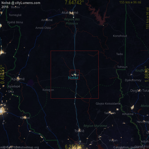
Analysis of Notsé night lights 2016
Square area 10x10 km:
 0%
0%90-99
0%80-89
0%70-79
0.22%60-69
1.73%50-59
1.52%40-49
0%30-39
0%20-29
0%10-19
0.87%0-9
95.67%Square area 50x50 km:
0%90-99
0%80-89
0%70-79
0.01%60-69
0.07%50-59
0.1%40-49
0%30-39
0%20-29
0.03%10-19
0.03%0-9
99.76%Clear (daylight) street map image can be seen on geolist.org.
Map coordinates:
7° 38' 50.7" North, 0° 27' 48.8" East
6° 57' 0" North, 1° 10' 0" East
6° 15' 5.5" North, 1° 52' 11.3" East
Some cities around Notsé sort by population:
• Lokossa, BJ
69.9 km =43.4 mi,  119°
119°
• Atakpamé
65 km =40.4 mi,  356°
356°
• Kpalimé
59.1 km =36.7 mi,  264°
264°
• Tsévié
58.5 km =36.4 mi,  174°
174°
• Dogbo, BJ
69.8 km =43.4 mi,  103°
103°
• Aplahoué, BJ
57.1 km =35.5 mi,  91°
91°
• Tabligbo
54.9 km =34.1 mi,  137°
137°
• Amlamé
64.5 km =40.1 mi,  332°
332°
2364752 (p: 22,017)
Sources (retrieved 2019-11-25):
» Earth at Night: Flat Maps 2012, 2016