Lokossa night lights from space
Night Light of Lokossa (Mono) from space (Benin) Src. Average luminocity for 10x10km area is 8.855% and for 50x50km: 1.0239%.
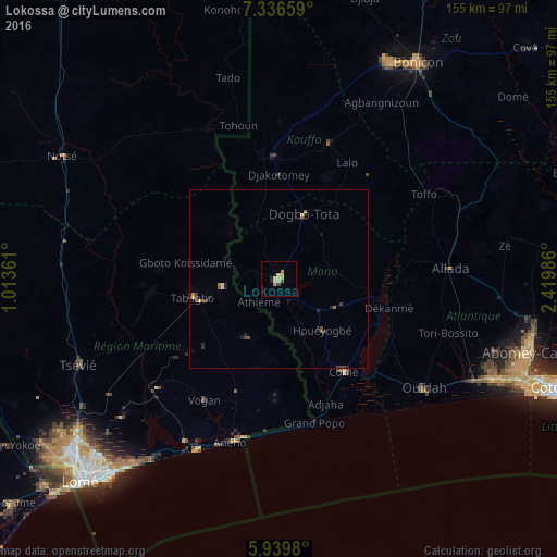
Analysis of Lokossa night lights 2016
Square area 10x10 km:
 0%
0%90-99
0%80-89
5.63%70-79
1.08%60-69
1.08%50-59
0%40-49
0.87%30-39
0.87%20-29
1.52%10-19
0.22%0-9
88.74%Square area 50x50 km:
0.04%90-99
0.03%80-89
0.29%70-79
0.09%60-69
0.15%50-59
0.1%40-49
0.32%30-39
0.21%20-29
0.42%10-19
0.16%0-9
98.2%Clear (daylight) street map image can be seen on geolist.org.
Map coordinates:
7° 20' 11.7" North, 1° 0' 49" East
6° 38' 19.3" North, 1° 43' 0.3" East
5° 56' 23.3" North, 2° 25' 11.5" East
Some cities around Lokossa sort by population:
• Aného, TG
47.7 km =29.6 mi,  196°
196°
• Dogbo
19.2 km =11.9 mi,  21°
21°
• Comé
31.5 km =19.6 mi,  144°
144°
• Vogan, TG
39.5 km =24.5 mi,  210°
210°
• Allada
48.1 km =29.9 mi,  86°
86°
• Aplahoué
33 km =20.5 mi,  353°
353°
• Tabligbo, TG
24.7 km =15.3 mi,  255°
255°
• Grand-Popo
41.5 km =25.8 mi,  163°
163°
2392897 (p: 86,971)
Sources (retrieved 2019-11-25):
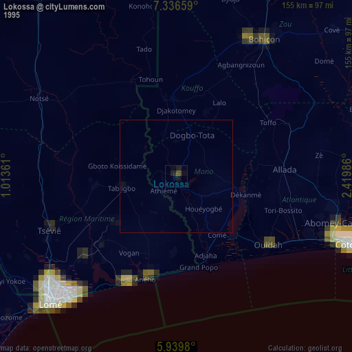
» NASA, Earths city lights 1995
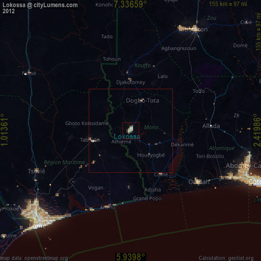
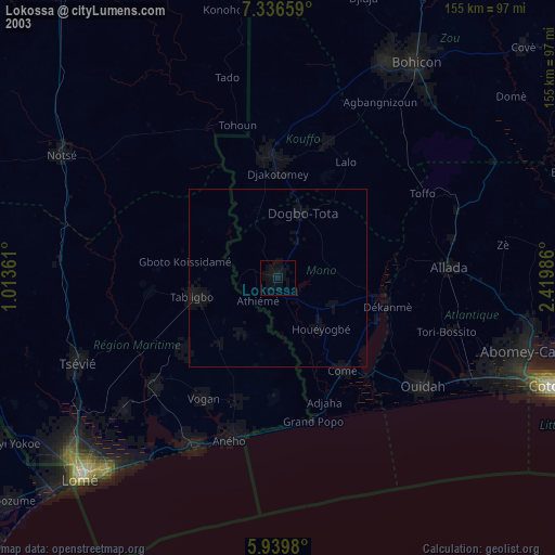
» NASA city lights 2003
» Earth at Night: Flat Maps 2012, 2016