Aplahoué night lights from space
Night Light of Aplahoué (Kouffo) from space (Benin) Src. Average luminocity for 10x10km area is 1.1061% and for 50x50km: 0.1692%.
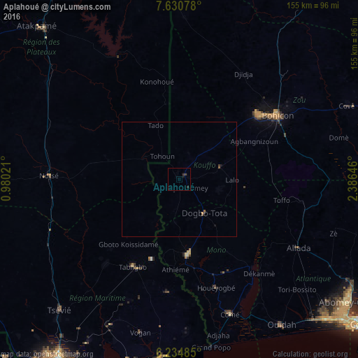
Analysis of Aplahoué night lights 2016
Square area 10x10 km:
 0%
0%90-99
0%80-89
0%70-79
0%60-69
0%50-59
0%40-49
0.87%30-39
0.65%20-29
1.08%10-19
0.87%0-9
96.54%Square area 50x50 km:
0%90-99
0%80-89
0%70-79
0.03%60-69
0.03%50-59
0.03%40-49
0.09%30-39
0.04%20-29
0.08%10-19
0.1%0-9
99.58%Clear (daylight) street map image can be seen on geolist.org.
Map coordinates:
7° 37' 50.8" North, 0° 58' 48.8" East
6° 55' 60" North, 1° 40' 60" East
6° 14' 5.5" North, 2° 23' 11.3" East
Some cities around Aplahoué sort by population:
• Bohicon
50.3 km =31.3 mi,  57°
57°
• Lokossa
33 km =20.5 mi,  173°
173°
• Abomey
43.9 km =27.3 mi,  50°
50°
• Dogbo
18.4 km =11.4 mi,  144°
144°
• Comé
62.4 km =38.8 mi,  159°
159°
• Notsé, TG
57.1 km =35.5 mi,  271°
271°
• Allada
59.6 km =37 mi,  119°
119°
• Tabligbo, TG
43.9 km =27.3 mi,  207°
207°
2395568 (p: 19,862)
Sources (retrieved 2019-11-25):
» Earth at Night: Flat Maps 2012, 2016