Dogbo night lights from space
Night Light of Dogbo (Kouffo) from space (Benin) Src. Average luminocity for 10x10km area is 1.9437% and for 50x50km: 0.706%.
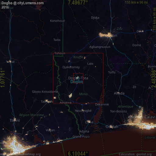
Analysis of Dogbo night lights 2016
Square area 10x10 km:
100  0%
0%
90-99 0%
80-89 0%
70-79 0.87%
60-69 0.87%
50-59 0%
40-49 0.87%
30-39 0%
20-29 0.87%
10-19 0%
0-9 96.54%
0%90-99
0%80-89
0%70-79
0.87%60-69
0.87%50-59
0%40-49
0.87%30-39
0%20-29
0.87%10-19
0%0-9
96.54%Square area 50x50 km:
100 0.04%
90-99 0.03%
80-89 0.22%
70-79 0.08%
60-69 0.11%
50-59 0.07%
40-49 0.16%
30-39 0.09%
20-29 0.2%
10-19 0.16%
0-9 98.84%
0.04%90-99
0.03%80-89
0.22%70-79
0.08%60-69
0.11%50-59
0.07%40-49
0.16%30-39
0.09%20-29
0.2%10-19
0.16%0-9
98.84%Clear (daylight) street map image can be seen on geolist.org.
Map coordinates:
7° 29' 48.4" North, 1° 4' 39.4" East
6° 47' 56.8" North, 1° 46' 50.6" East
6° 6' 1.6" North, 2° 29' 1.9" East
Some cities around Dogbo sort by population:
• Bohicon
52.7 km =32.7 mi,  36°
36°
• Lokossa
19.2 km =11.9 mi,  201°
201°
• Abomey
48.6 km =30.2 mi,  28°
28°
• Comé
44.9 km =27.9 mi,  165°
165°
• Allada
43.5 km =27 mi,  109°
109°
• Aplahoué
18.4 km =11.4 mi,  324°
324°
• Tabligbo, TG
39.2 km =24.4 mi,  232°
232°
• Grand-Popo
57.9 km =36 mi,  175°
175°
2394545 (p: 41,312)
Sources (retrieved 2019-11-25):
» Earth at Night: Flat Maps 2012, 2016