Tabligbo night lights from space
Night Light of Tabligbo (Maritime) from space (Togo) Src. Average luminocity for 10x10km area is 5.2576% and for 50x50km: 0.8105%.
Analysis of Tabligbo night lights 2016
Square area 10x10 km:
 0%
0%90-99
0%80-89
1.52%70-79
0.22%60-69
0.87%50-59
0%40-49
3.03%30-39
2.16%20-29
1.73%10-19
0%0-9
90.48%Square area 50x50 km:
0.04%90-99
0.03%80-89
0.29%70-79
0.03%60-69
0.11%50-59
0.05%40-49
0.22%30-39
0.16%20-29
0.35%10-19
0.07%0-9
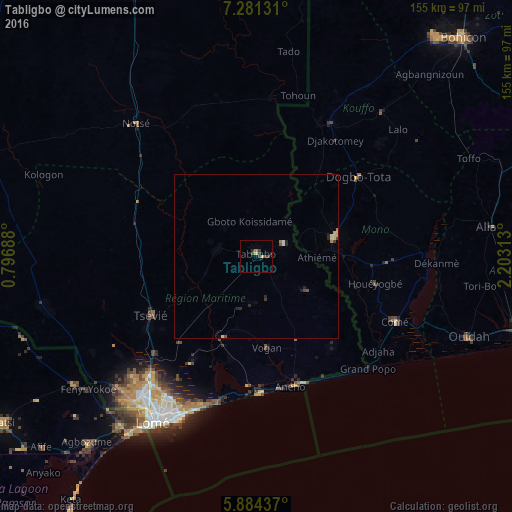
98.65%Clear (daylight) street map image can be seen on geolist.org.
Map coordinates:
7° 16' 52.7" North, 0° 47' 48.8" East
6° 34' 60" North, 1° 30' 0" East
5° 53' 3.7" North, 2° 12' 11.3" East
Some cities around Tabligbo sort by population:
• Lokossa, BJ
24.7 km =15.3 mi,  75°
75°
• Tsévié
36.2 km =22.5 mi,  241°
241°
• Aného
40.8 km =25.4 mi,  165°
165°
• Dogbo, BJ
39.2 km =24.4 mi,  52°
52°
• Comé, BJ
46.5 km =28.9 mi,  114°
114°
• Vogan
28 km =17.4 mi, 172°
• Aplahoué, BJ
43.9 km =27.3 mi,  27°
27°
• Grand-Popo, BJ
49 km =30.4 mi,  133°
133°
2364041 (p: 13,748)
Sources (retrieved 2019-11-25):
» Earth at Night: Flat Maps 2012, 2016