Kpandu night lights from space
Night Light of Kpandu (Volta) from space (Ghana) Src. Average luminocity for 10x10km area is 20.2771% and for 50x50km: 3.0762%.
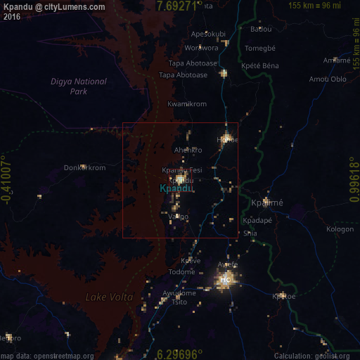
Analysis of Kpandu night lights 2016
Square area 10x10 km:
 1.08%
1.08%90-99
0.65%80-89
4.98%70-79
4.11%60-69
3.25%50-59
2.38%40-49
2.38%30-39
1.73%20-29
4.55%10-19
7.36%0-9
67.53%Square area 50x50 km:
0.05%90-99
0.09%80-89
0.53%70-79
0.4%60-69
0.46%50-59
0.26%40-49
0.98%30-39
1%20-29
0.87%10-19
0.55%0-9
94.83%Clear (daylight) street map image can be seen on geolist.org.
Map coordinates:
7° 41' 33.8" North, 0° 24' 36.3" West
6° 59' 43.3" North, 0° 17' 35" East
6° 17' 49.1" North, 0° 59' 46.2" East
Some cities around Kpandu sort by population:
• Kpalimé, TG
39 km =24.2 mi,  105°
105°
• Ho
48.1 km =29.9 mi,  155°
155°
• Hohoe
26.4 km =16.4 mi,  48°
48°
• Begoro
100.3 km =62.3 mi,  227°
227°
• Badou, TG
73.6 km =45.7 mi,  27°
27°
• Notsé, TG
96.5 km =60 mi,  92°
92°
• Kete Krachi
96.5 km =60 mi,  336°
336°
• Amlamé, TG
85 km =52.8 mi, 51°
2299233 (p: 28,334)
Sources (retrieved 2019-11-25):
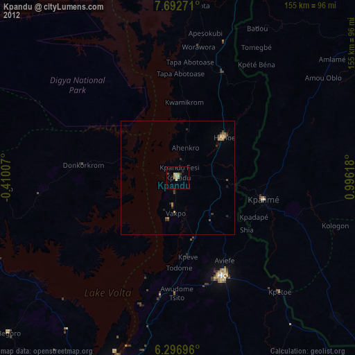
» Earth at Night: Flat Maps 2012, 2016