Ho night lights from space
Night Light of Ho (Volta) from space (Ghana) Src. Average luminocity for 10x10km area is 49.1602% and for 50x50km: 3.9073%.
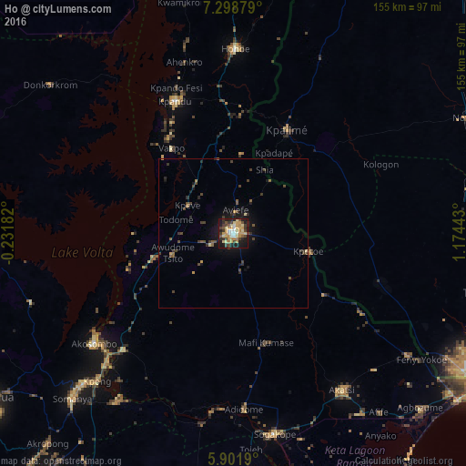

Analysis of Ho night lights 2016
Square area 10x10 km:
 4.98%
4.98%90-99
4.55%80-89
12.34%70-79
12.99%60-69
6.71%50-59
3.68%40-49
9.31%30-39
9.52%20-29
6.71%10-19
28.14%0-9
1.08%Square area 50x50 km:
0.2%90-99
0.18%80-89
0.6%70-79
0.67%60-69
0.38%50-59
0.55%40-49
1.06%30-39
1.12%20-29
0.66%10-19
3.29%0-9
91.3%Clear (daylight) street map image can be seen on geolist.org.
Map coordinates:
7° 17' 55.6" North, 0° 13' 54.6" West
6° 36' 3" North, 0° 28' 16.7" East
5° 54' 6.8" North, 1° 10' 27.9" East
Some cities around Ho sort by population:
• Kpalimé, TG
37.8 km =23.5 mi,  28°
28°
• Aflao
95.8 km =59.5 mi,  123°
123°
• Hohoe
61.3 km =38.1 mi,  0°
0°
• Tsévié, TG
84.2 km =52.3 mi,  103°
103°
• Kpandu
48.1 km =29.9 mi,  335°
335°
• Notsé, TG
86 km =53.4 mi,  63°
63°
• Keta
95 km =59 mi,  143°
143°
• Akropong
92.9 km =57.7 mi,  221°
221°
2300379 (p: 69,998)
Sources (retrieved 2019-11-25):
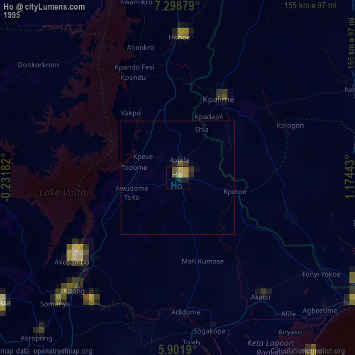
» NASA, Earths city lights 1995
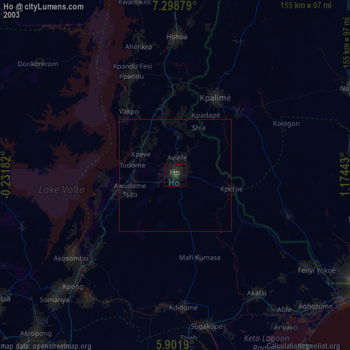
» NASA city lights 2003
» Earth at Night: Flat Maps 2012, 2016